Saturday and Sunday, April 13 – 14: After a pleasant night’s sleep (accompanied by rain and wind, but the Roadtrek is snug and cozy) I headed off early to get the propane refilled while I was still in civilization. Then back to eat breakfast and attend the working group meeting – the reason I spent the night there in the first place! We got out about 2, and by 2:30 I was headed out, dealing with traffic on the DC Beltway until I could head southwest. The views of the Blue Ridge Mountains were spectacular, but I didn’t want to risk pulling in the the campground after dark, so didn’t stop for photos. Hone Quarry Campground, in the George Washington National Forest, was a couple of miles up a very potholed and rough sometimes paved road For a whopping $2.50, I had a level, dark and quiet campsite. My one regret is that I forgot I wanted to check out the waterfall rumored to be next to the campground. Another trip… There’s a lot more to explore here.
Sunday morning I had the kayaks loaded, breakfast ready to eat out of hand, and was headed back down the road at 7:05. Unfortunately, the route I’d mapped had a Road Closed Ahead sign, and rather than try it anyway, I went around. That meant that I ended up taking the longer but much faster interstate highway route to Lynchburg. It was overcast, drizzling sometimes, sometimes foggy, and I was concerned the delays, so again didn’t stop for photos. I made it to worship with Lynchburg Friends only about 5 minutes late, and then stayed and visited with them after for another hour or so. Then back on the road. By the time I got to the North Carolina border, I knew it was foolish to try to make it to the national forest in South Carolina I’d been thinking about, so I went to the Uwharrie National Forest. My first choice for camping was closed, and I ended up at the Uwharrie Hunt Camp. That night it was dark (except for the lightning). It was flat. (It was hot and humid.) But quiet? Not so much. Being the end of a weekend, at about dusk the large pickups, often unmuffled, and towing rattling trailers with their mud-splattered ATVs started coming through. The last vehicle came through the parking lot about midnight. Then at 2AM the heavens opened, with rig rattling strong winds, pouring rain and thunder (and lightning), necessitating getting up to close the top hatch. That only lasted about 15 minutes – but was long enough so I was thoroughly awake, being aware of the possibility of tornadoes in such a violent storm. And then cars started coming past about 5AM, headed out to work?
Monday, April 15: The morning was glorious, clear and bright, cool enough again, and once I’d eaten, and loaded in the kayaks, I went looking for a place to put one on the water. It was still very windy, and I wanted somewhere sheltered. Seeing a kayak launch sign by the roadside, I made a quick turn, and found the Uwharrie River.
It was very swollen, muddy, and with lots of floating tree pieces in it. I probably could have paddled against that much current, but it wouldn’t have been fun, and I had no way to get back to the Roadtrek if I went on downstream. This is apparently part of a canoe trail; this was near the endpoint of about 15 miles of river trail before it spits out into the larger Tadkin. But there were more options ahead.
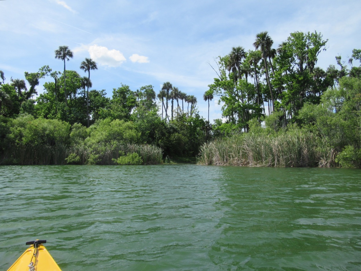
I stopped at the very large and busy Swift Island access on Lake Tillery, and had something to eat, and took a nap to make up for the previous night’s lack of sleep. There were too many power boats, and the surroundings weren’t enough to tempt me. On to 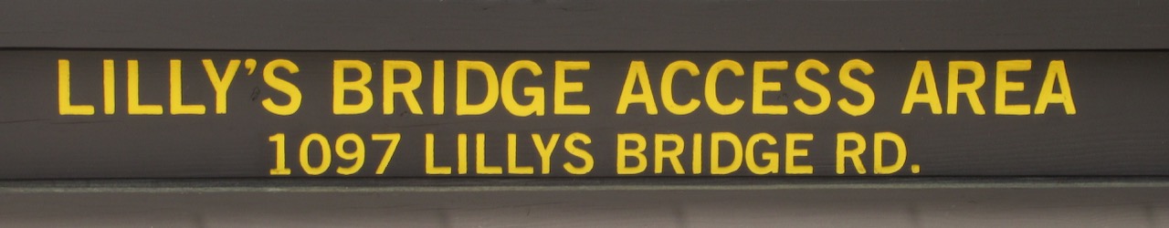 also, I believe, on Lake Tillery – but with maybe 1/5 the parking spaces and much less traffic. Long sleeves were welcome, but the sun was shining brightly and it was sheltered enough that the wind never built up much in the way of waves. Scenery:
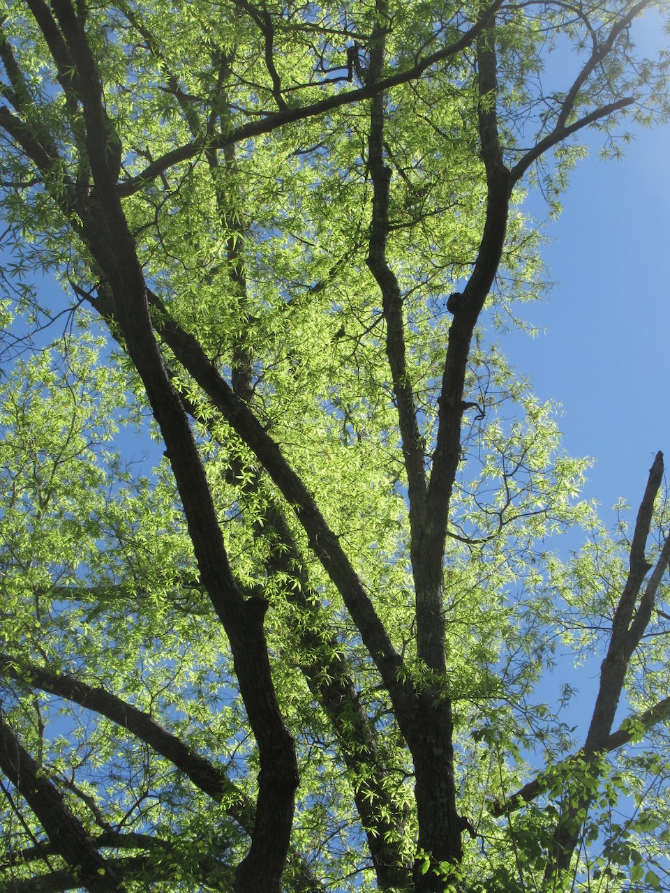
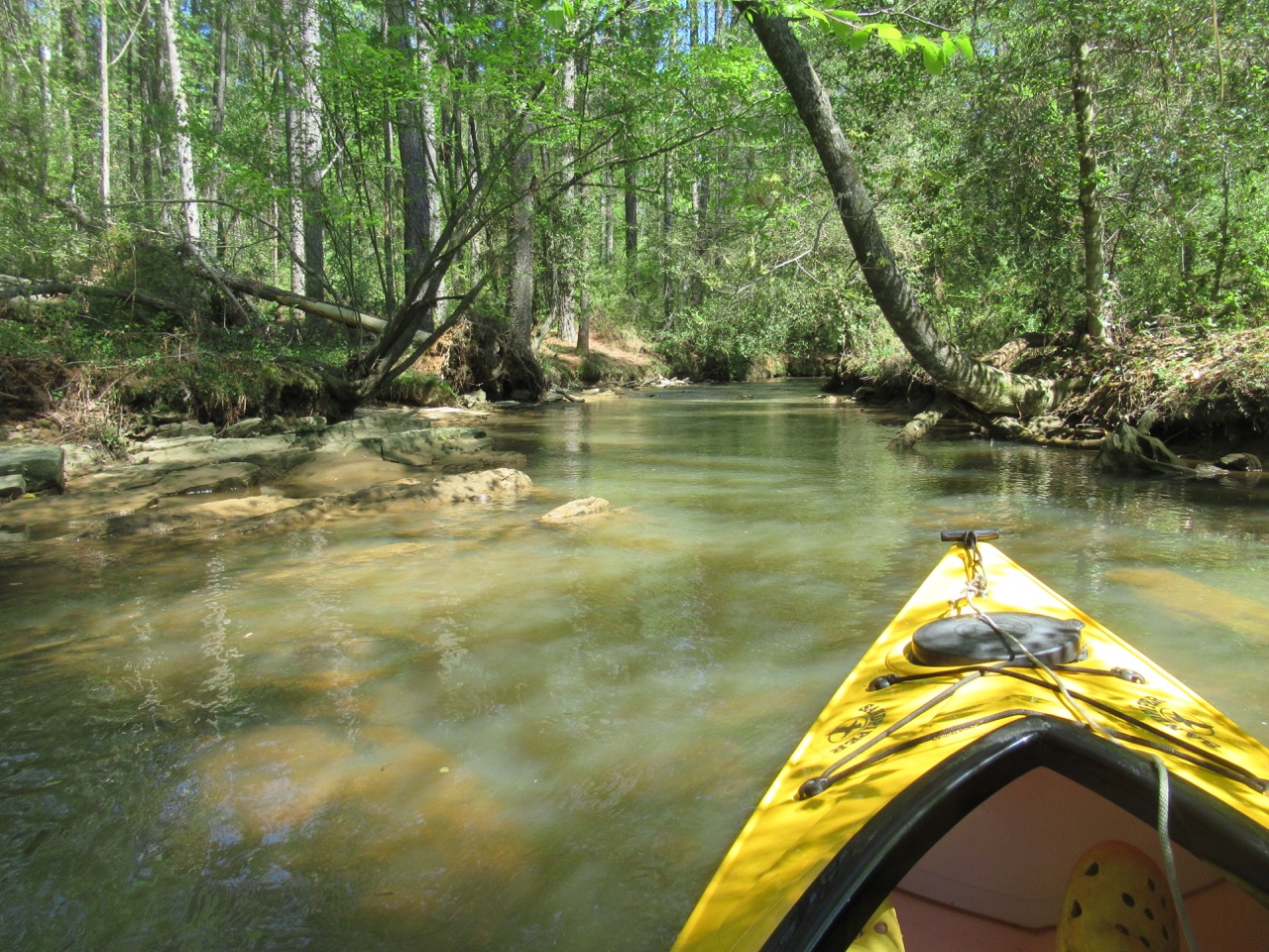
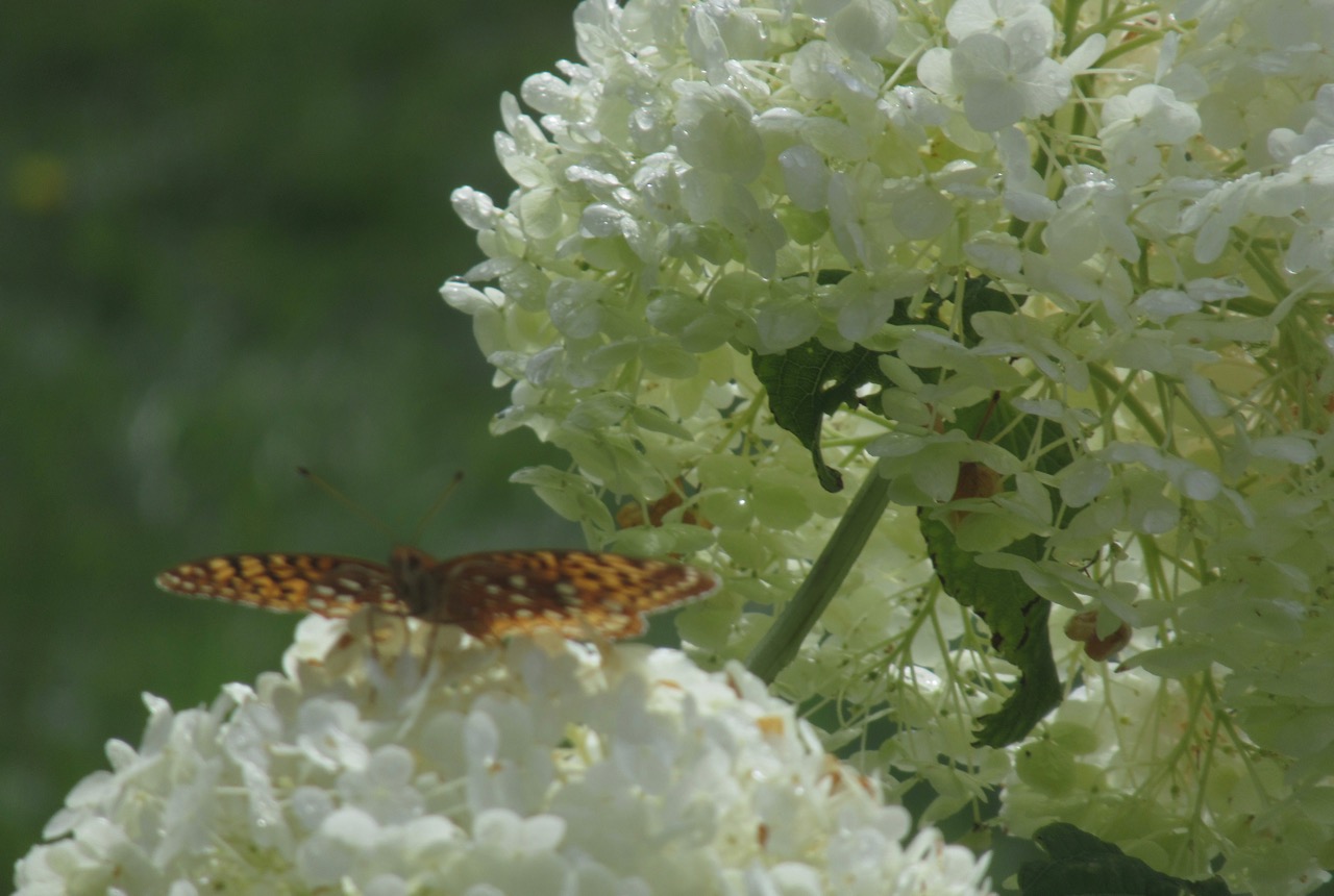
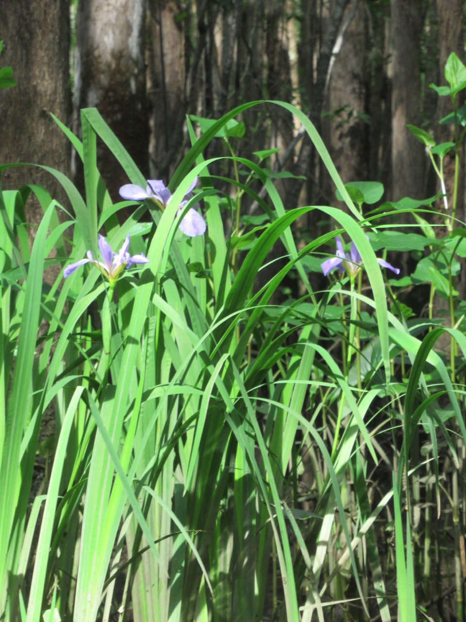
 Wildflowers:
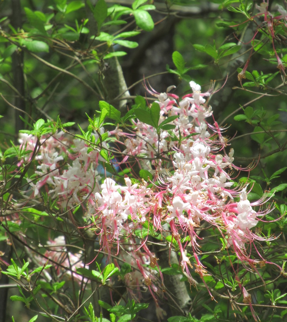
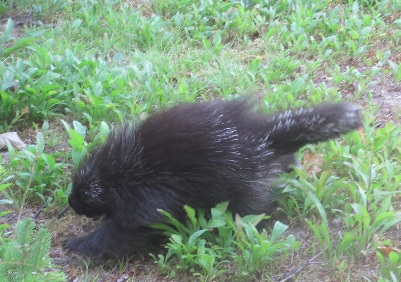
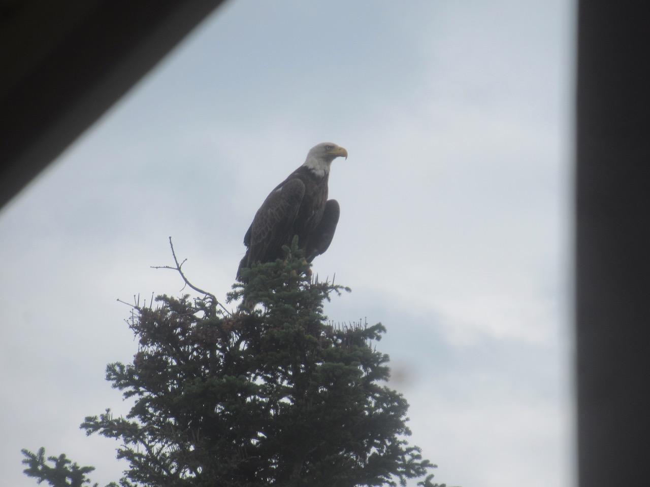
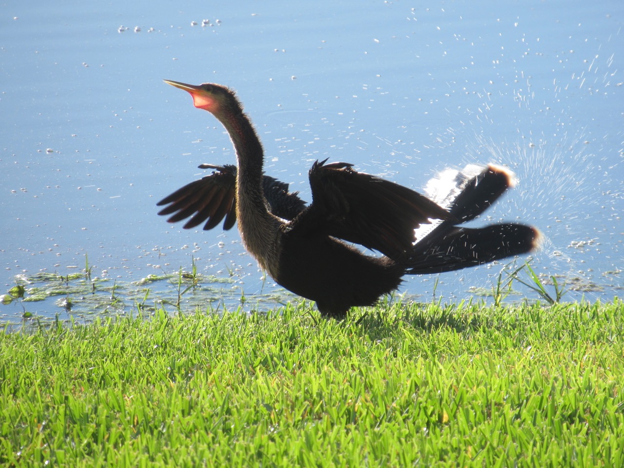
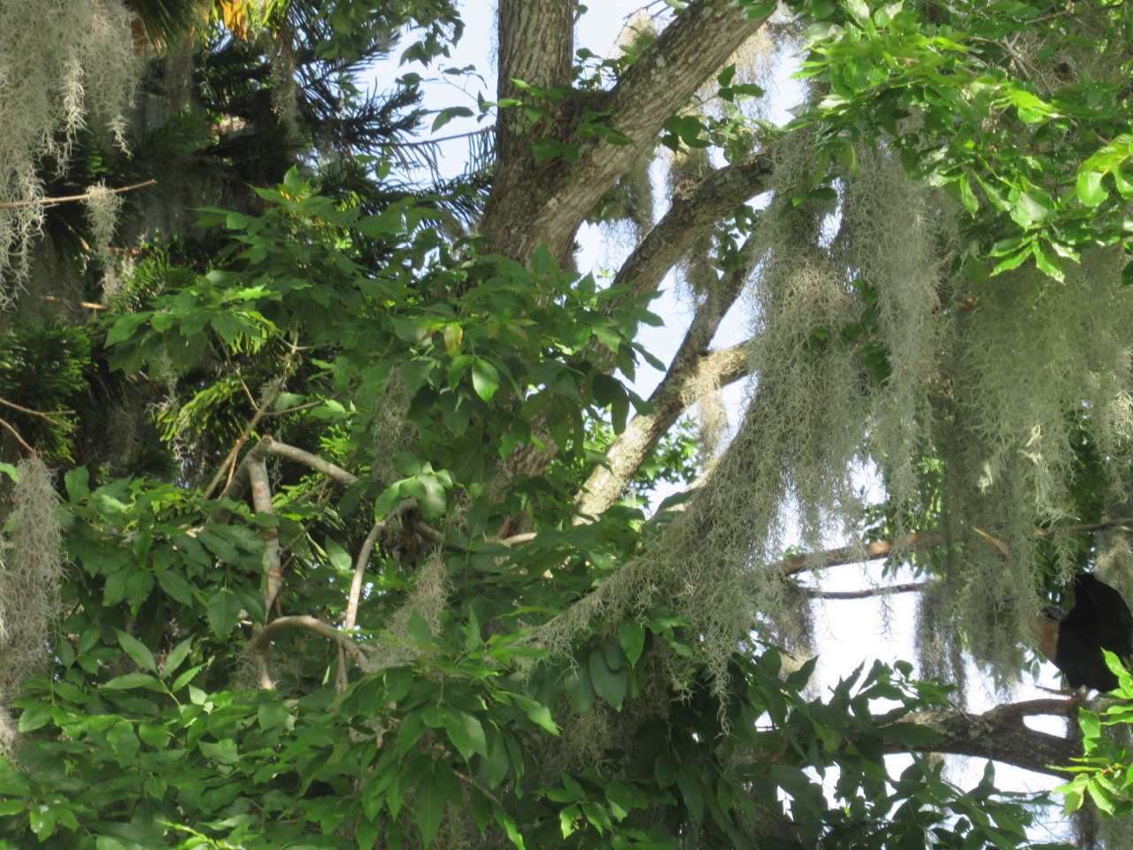
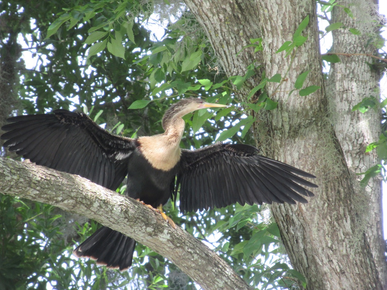
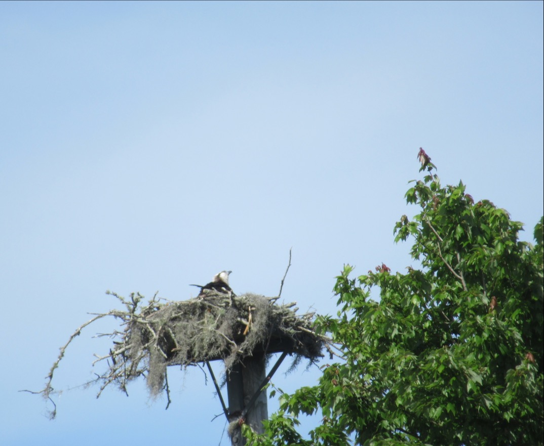
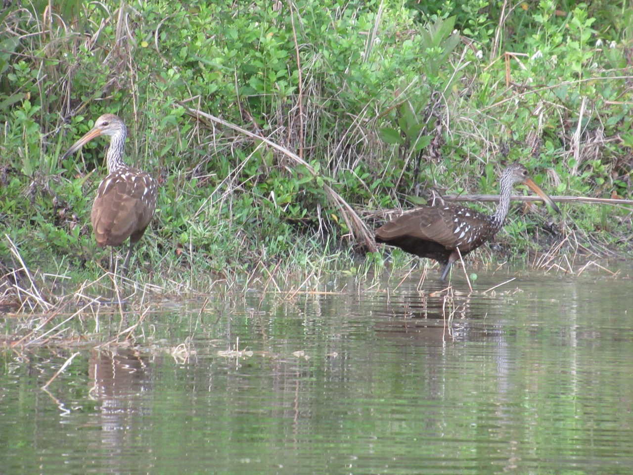
Wildlife:
That isn’t close to all the turtle pictures I took! There were lots and lots of turtles, singly and by the half dozens, on every sunny piece of wood. There were only a couple of herons, though.
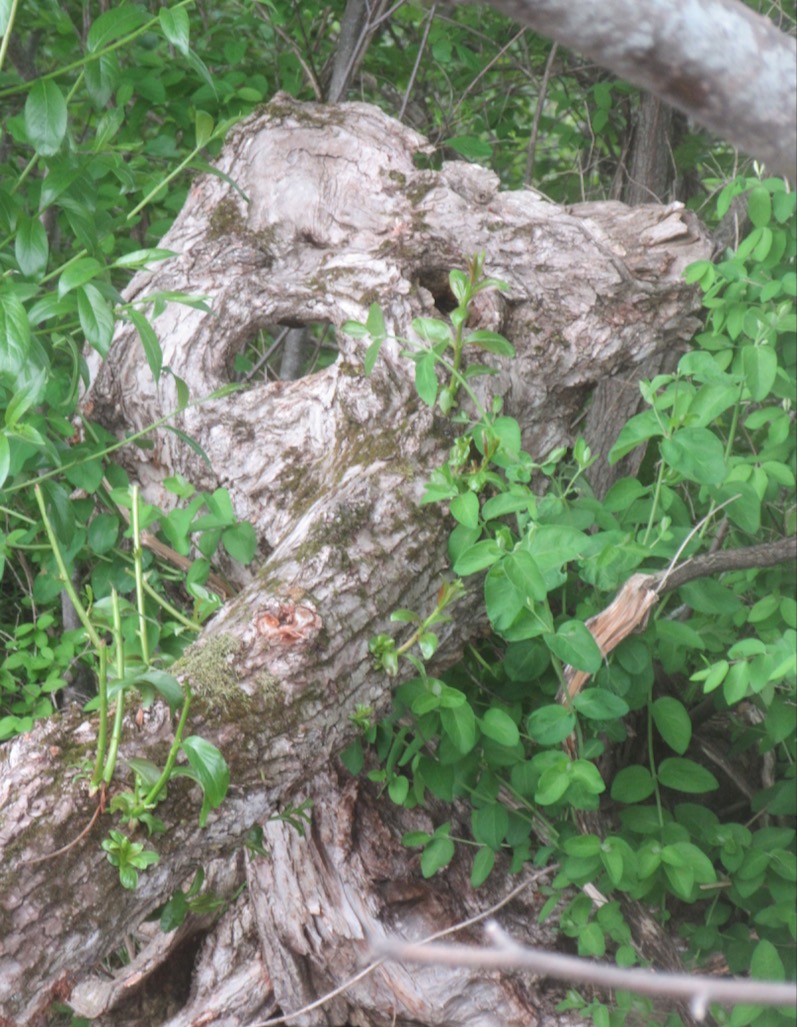
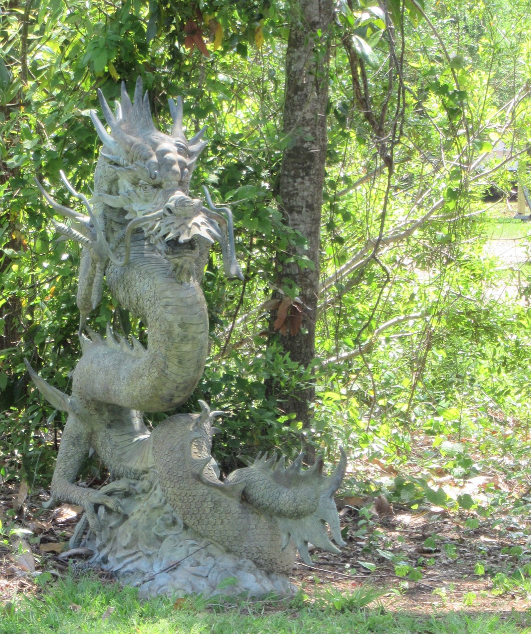
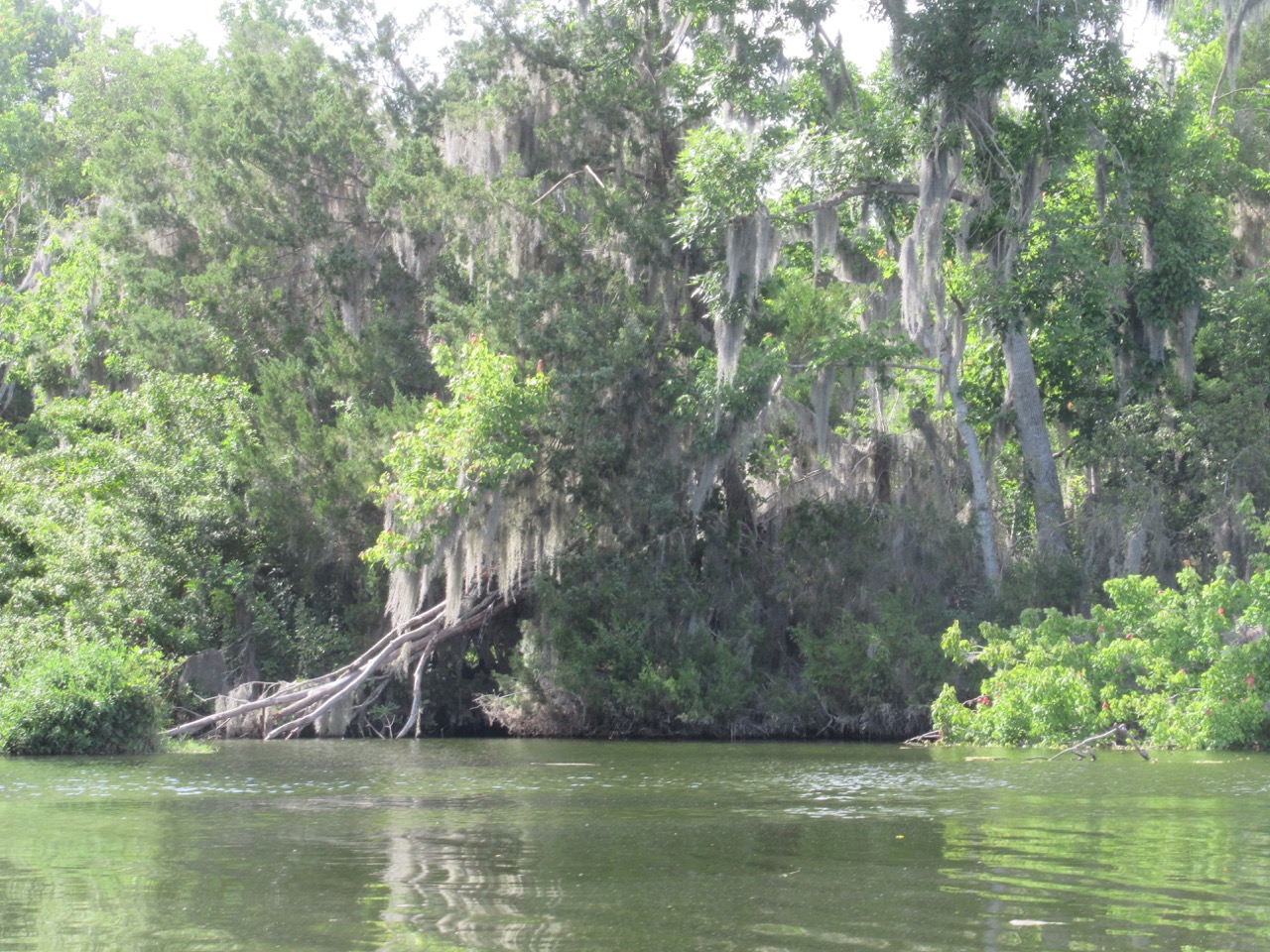
Cliff dwellings:
There were swallows (?) flitting in and out of these nests – but moving too fast to capture the images. All of these, and many more, were under the bridge. It was an excellent outing, well worth the stop. Going out toward the lake, there were many more dwellings and docks, but inland it was mostly natural world.
Then it was back on the road, aiming for Route 52 down to I-95, to make time. I stopped for another nap – after so little sleep, I certainly didn’t want to fall asleep at the wheel! and I finished the day at the Florida Welcome Center at about midnight. With 384 miles driven, plus a couple of hours kayaking, it was a long day!


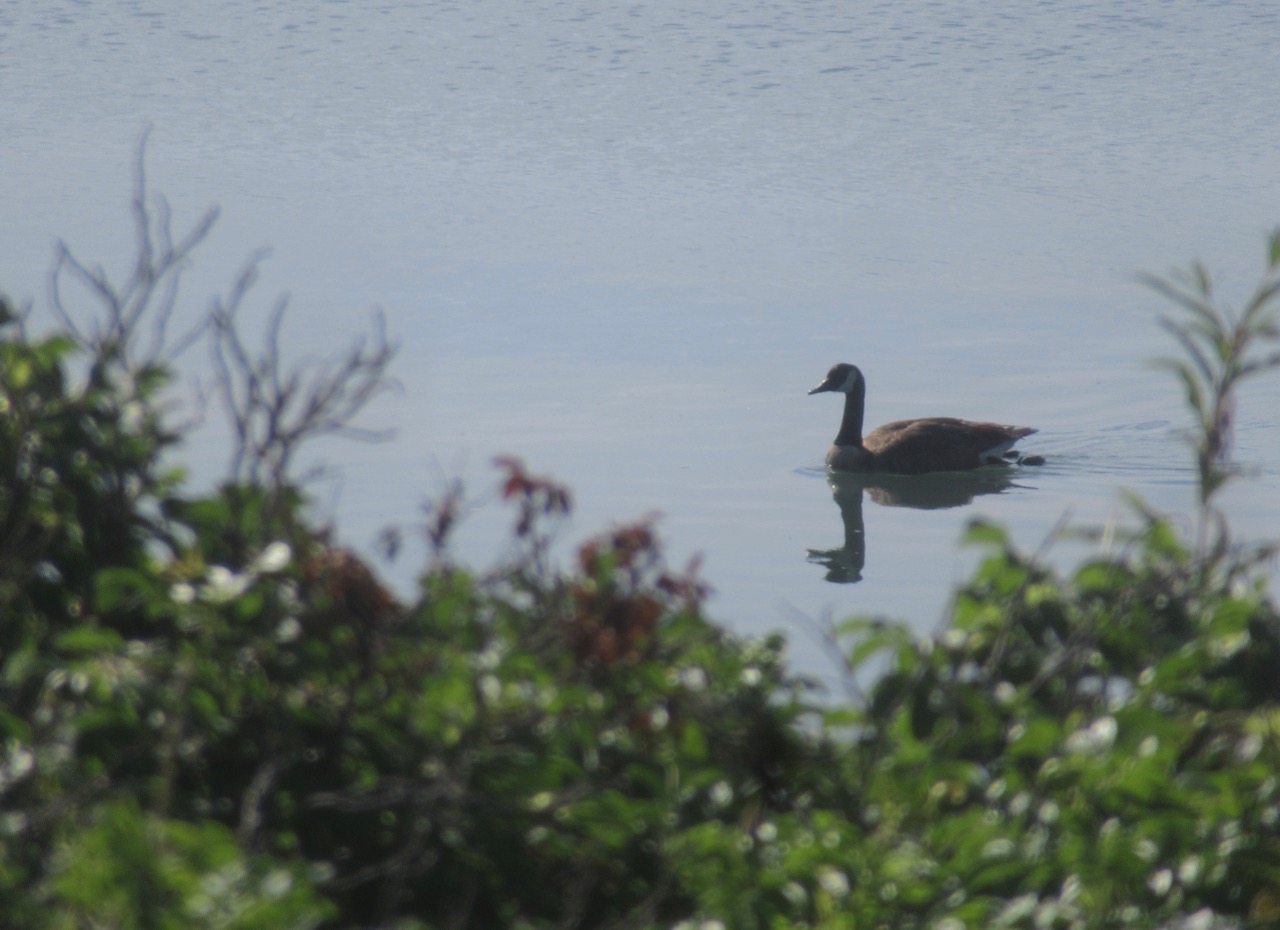
 And then there are the birds – all sizes and shapes. (I’m not going to add the previously posted hummingbird.)
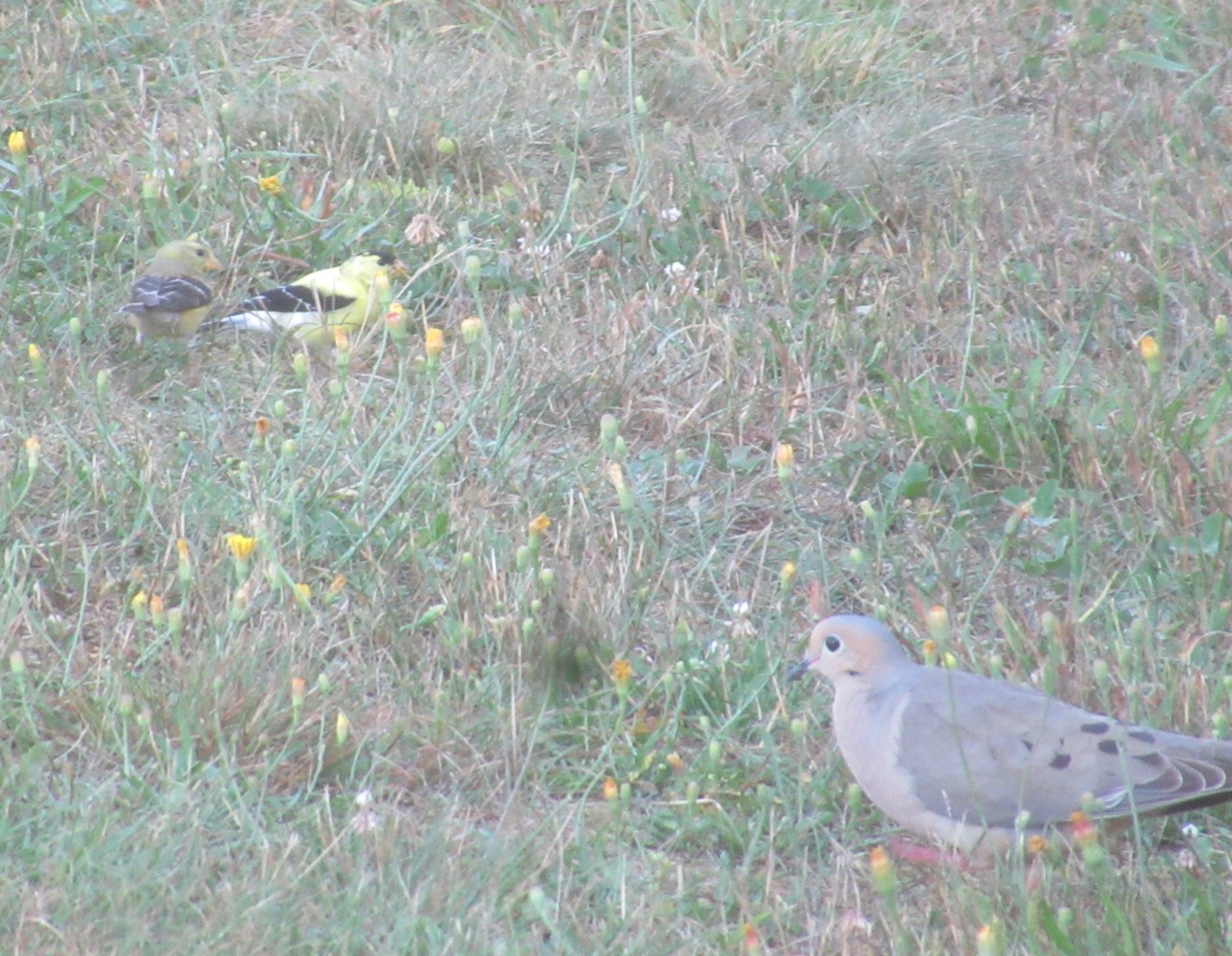
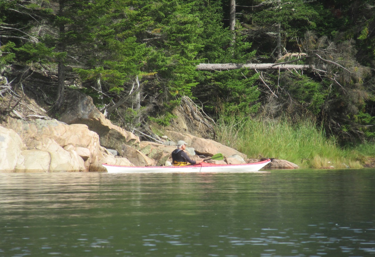
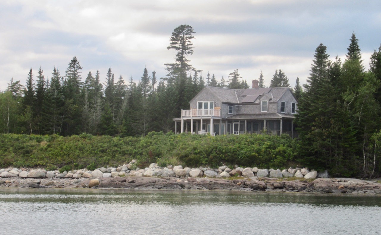 Monday, September 2: It was time to say goodby to Lise, and go a few miles up the road, through Milbridge, Maine, and on out to visit Springtide, the house on Narragaugus Bay belonging to my friends Nat and Matt. As I approached, Matt popped out of the woods, thinking I was a lost stranger, I think – he wasn’t expecting the Roadtrek. Over the next three days, I took a few pictures of this view over their rugosa roses.
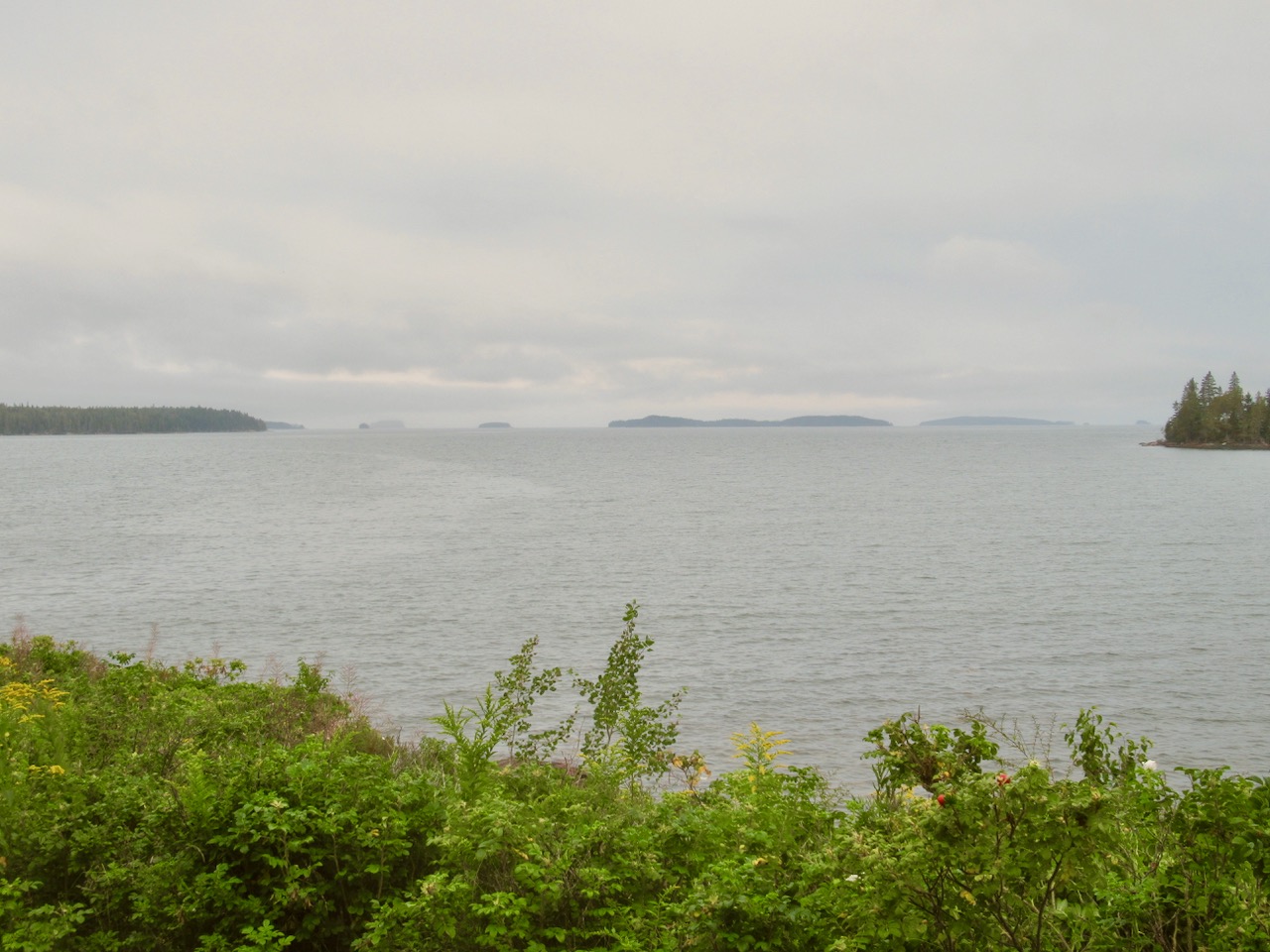
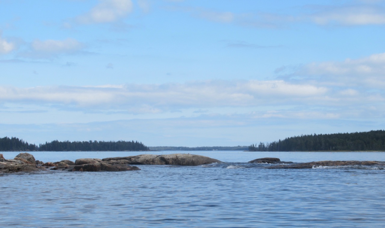
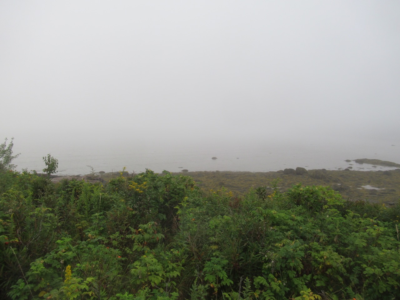 Yes, the islands are out there – one must have faith the Maine fog will lift!
 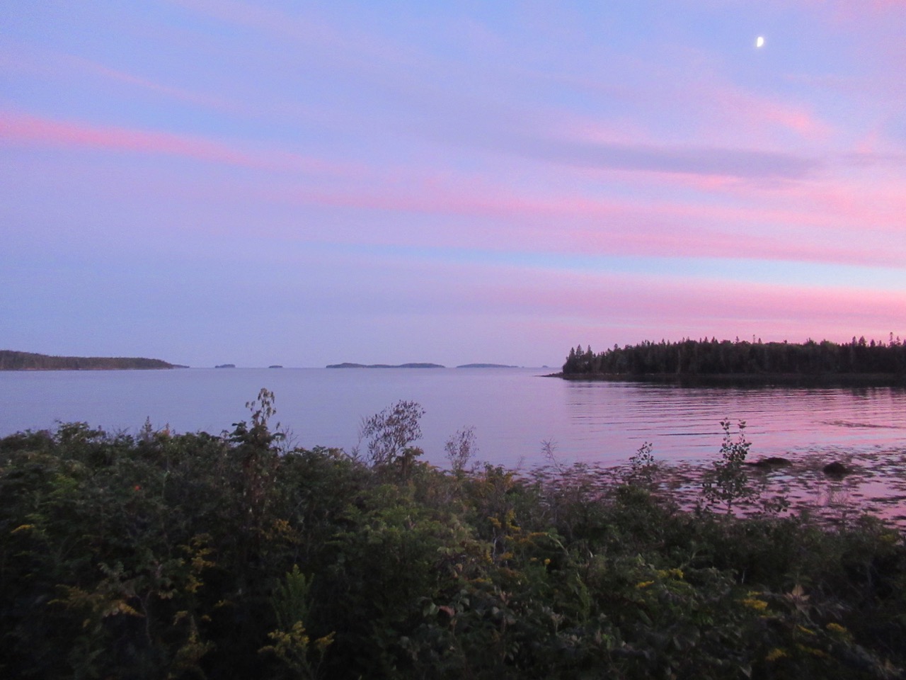 There’s a place to launch kayaks in a sheltered cove behind the house –
 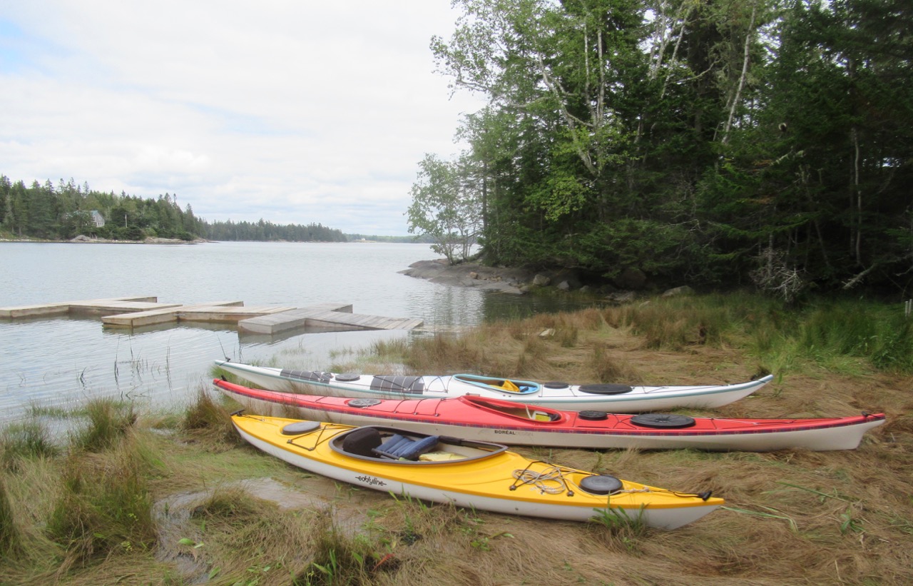 although about half the time, the tide is too low to launch there, so we planned our outings around that.
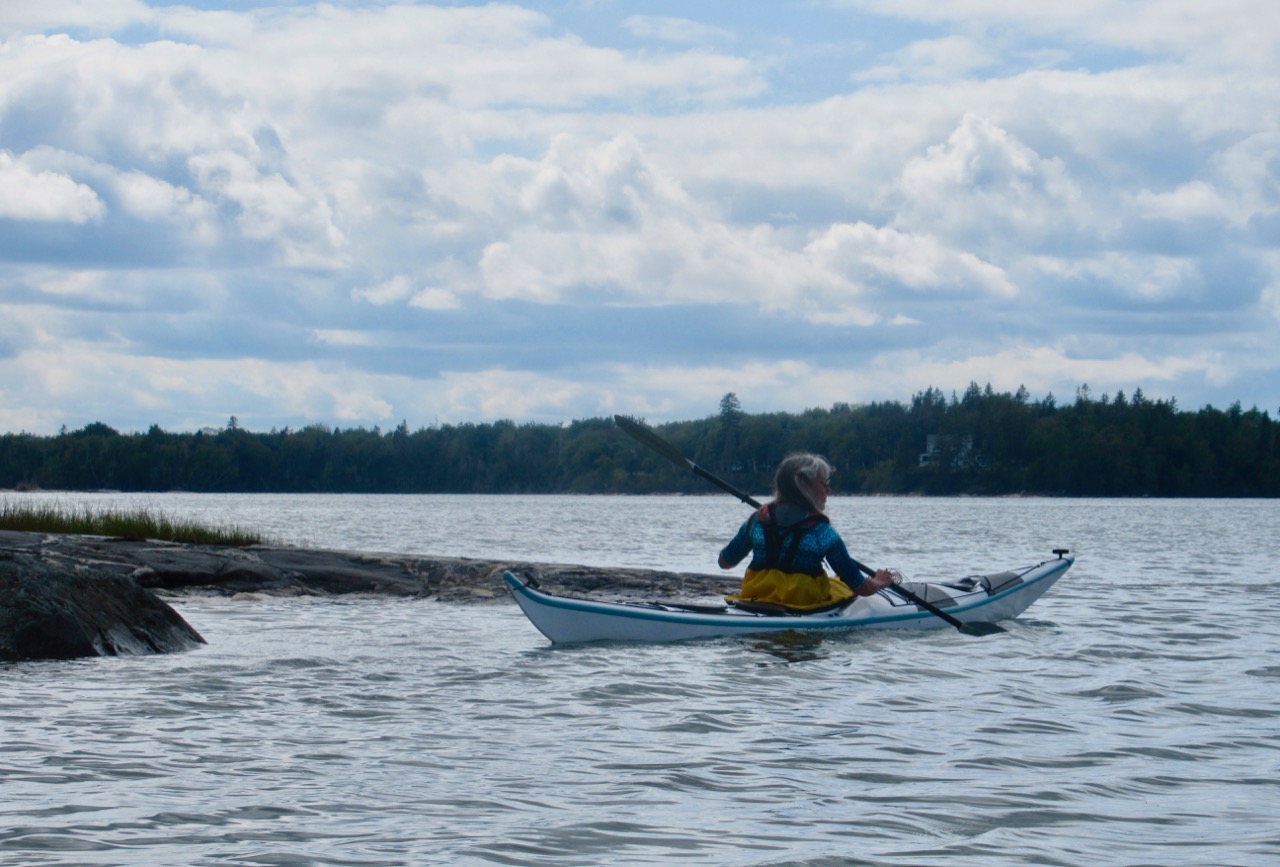


 Rockweed:
 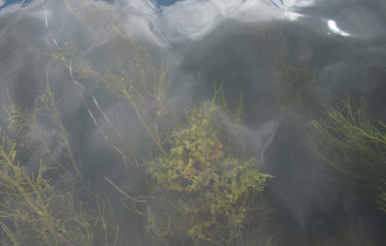 A seal poked its head up –
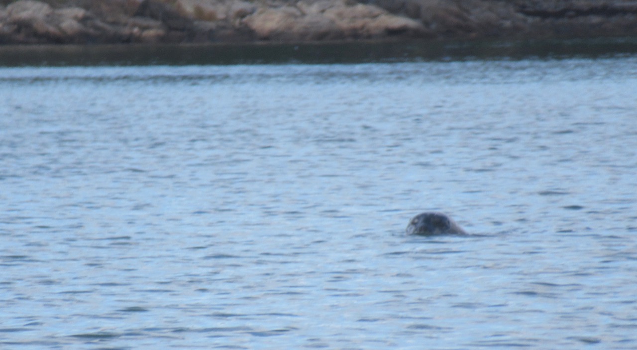

 Returning to the house, there were lots of butterflies flitting around the perennial gardens.

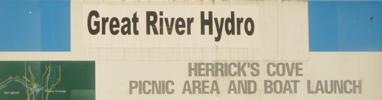 Friday, May 31: I took myself off to Herrick’s Cove, (using my old camera) where one launches onto the Connecticut River, and can go up or down it – or behind the land that encloses Herrick’s Cove, which is what I did.
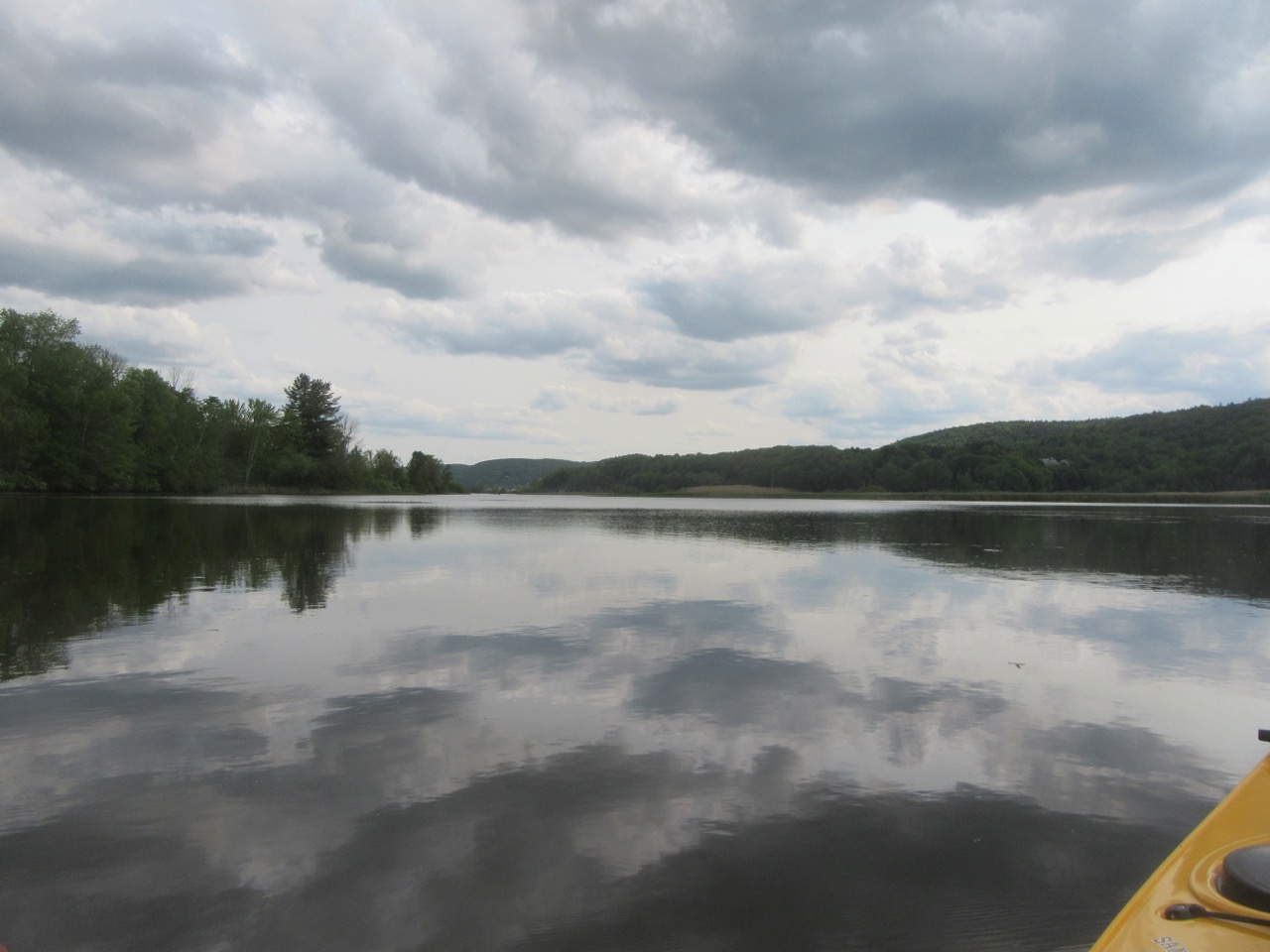


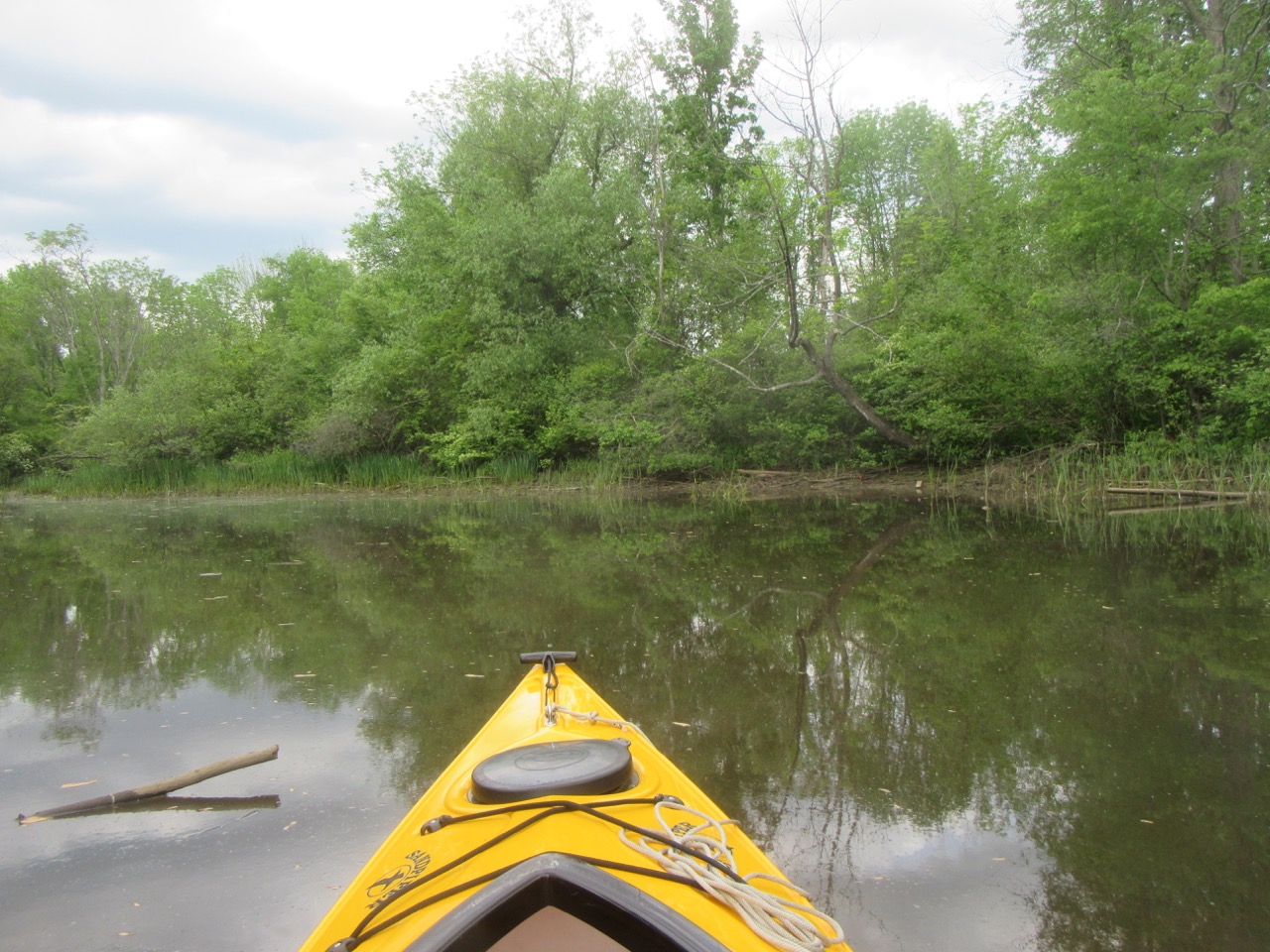


 As I paddled in to a back corner, there was a loud splash. Beaver? Muskrat? There were signs of things chewed by both –
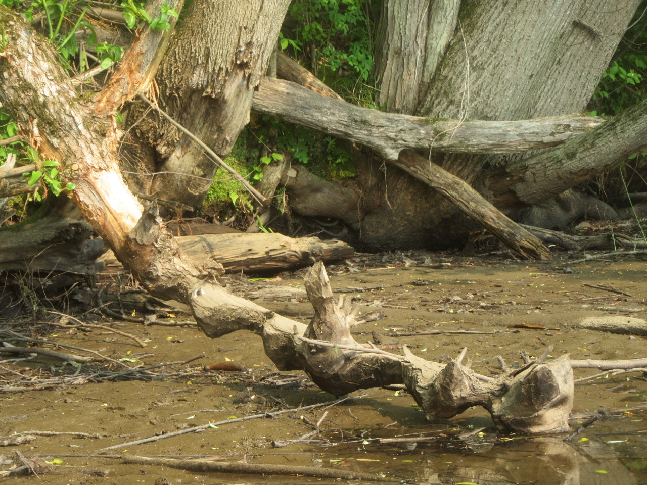
 I’ll never know for sure what made that splash – but returning to the boat launch, this muskrat was slithering down the bank right next to the floating dock! I’d already put the camera away, and by the time I’d pulled it out of the dry bag, it was swimming away as fast as it could!
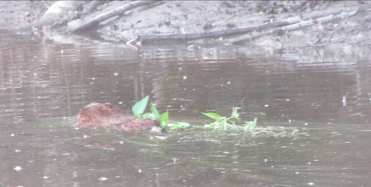


 Down the street, spotted while walking the dog
 Cat briar? A local invasive thorny vine, much disliked
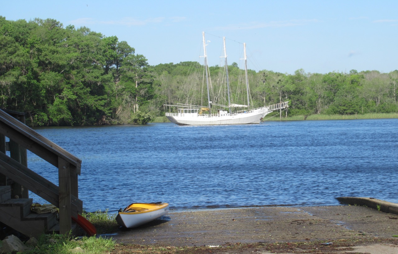 The wind was strong, as were the currents; I stayed close to shore and had no problems. Actually, the breeze was much appreciated, as it’s still too hot for my northern blood, even here in South Carolina! They provide life jackets:
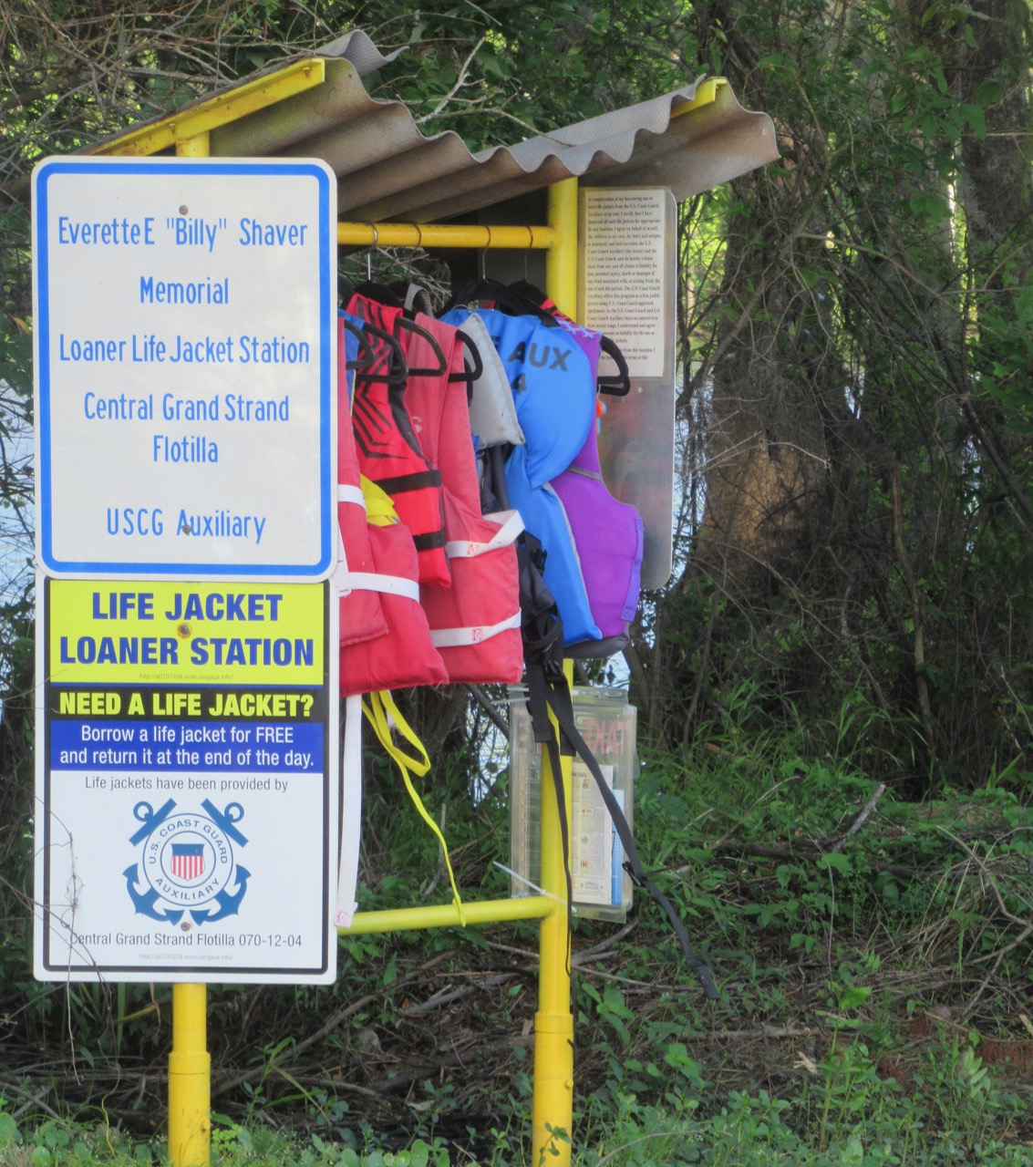


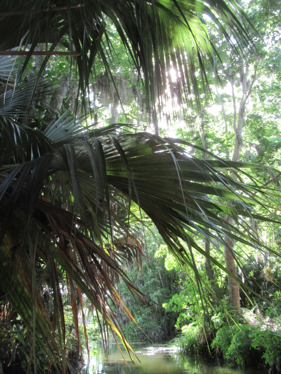
 I nudged into a creek not far from the landing, and wound my way up the winding twisting passage. Just after I started in I probably surprised a gator – don’t know what else would make such a big commotion entering the water! It churned up lots of mud, but I never saw whatever it was. Then I surprised a pair of wood storks – by the time I got the camera out, they were leaving. I just waved the camera in the right direction and snapped, and got a rather nice foliage photo:
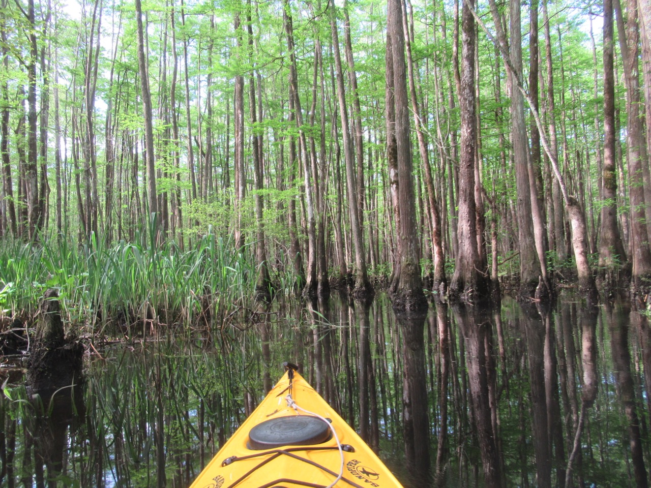
  And when I zoomed in on it, there’s one wood stork!
 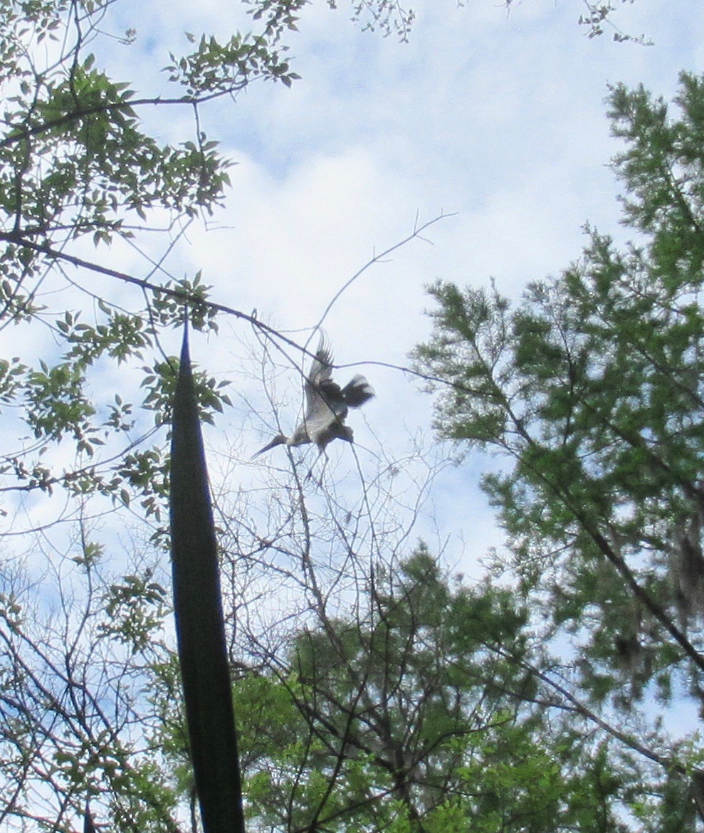 I really like the feathery foliage of the cypress; it’s more fully leafed out then on my return trip last year.
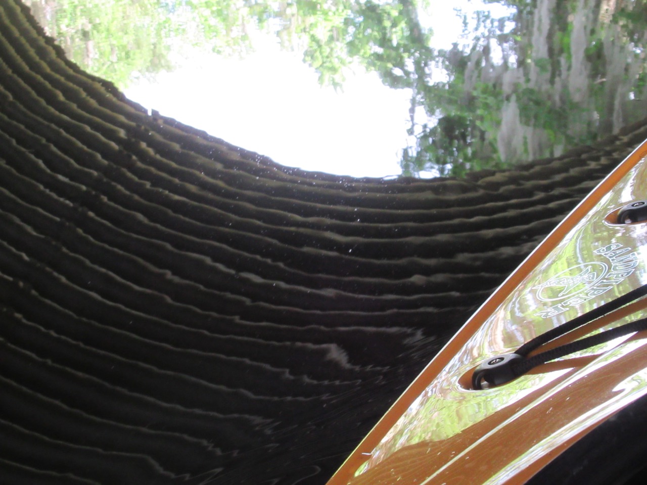
 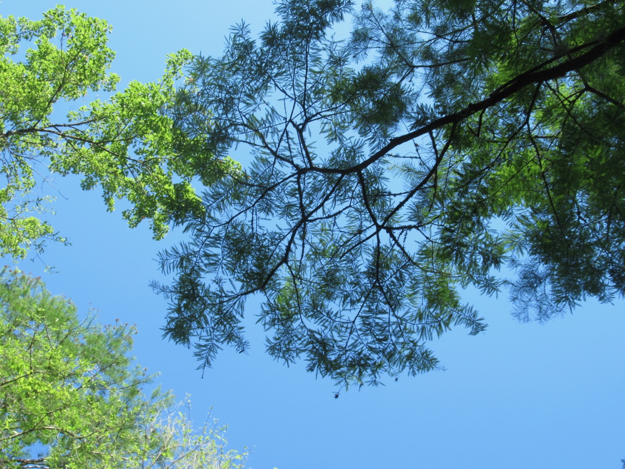 This is as far up the creek as I was able to go – the cypress knees were too close together to fit the kayak.
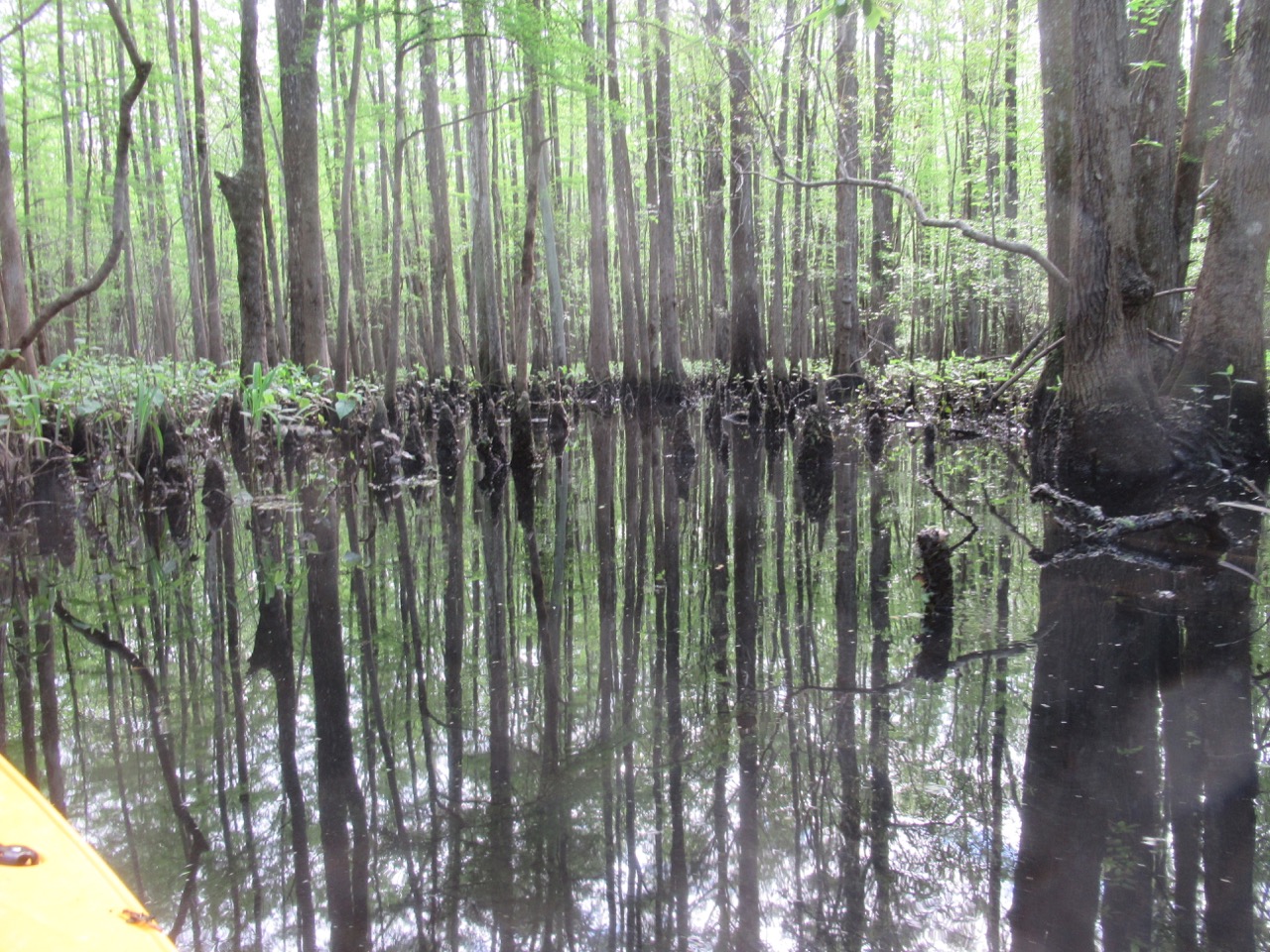
 Also seen: great blue and little green herons, and this turtle –
 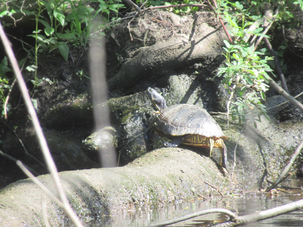 By 10:30 – after playing in the swirling current to get back – I was on shore, and loading in the kayak as it started to sprinkle. Rain didn’t last long – continuing north, I reached the North Carolina border at about 1PM
  and the welcome center had beds of bright roses to welcome guests.
 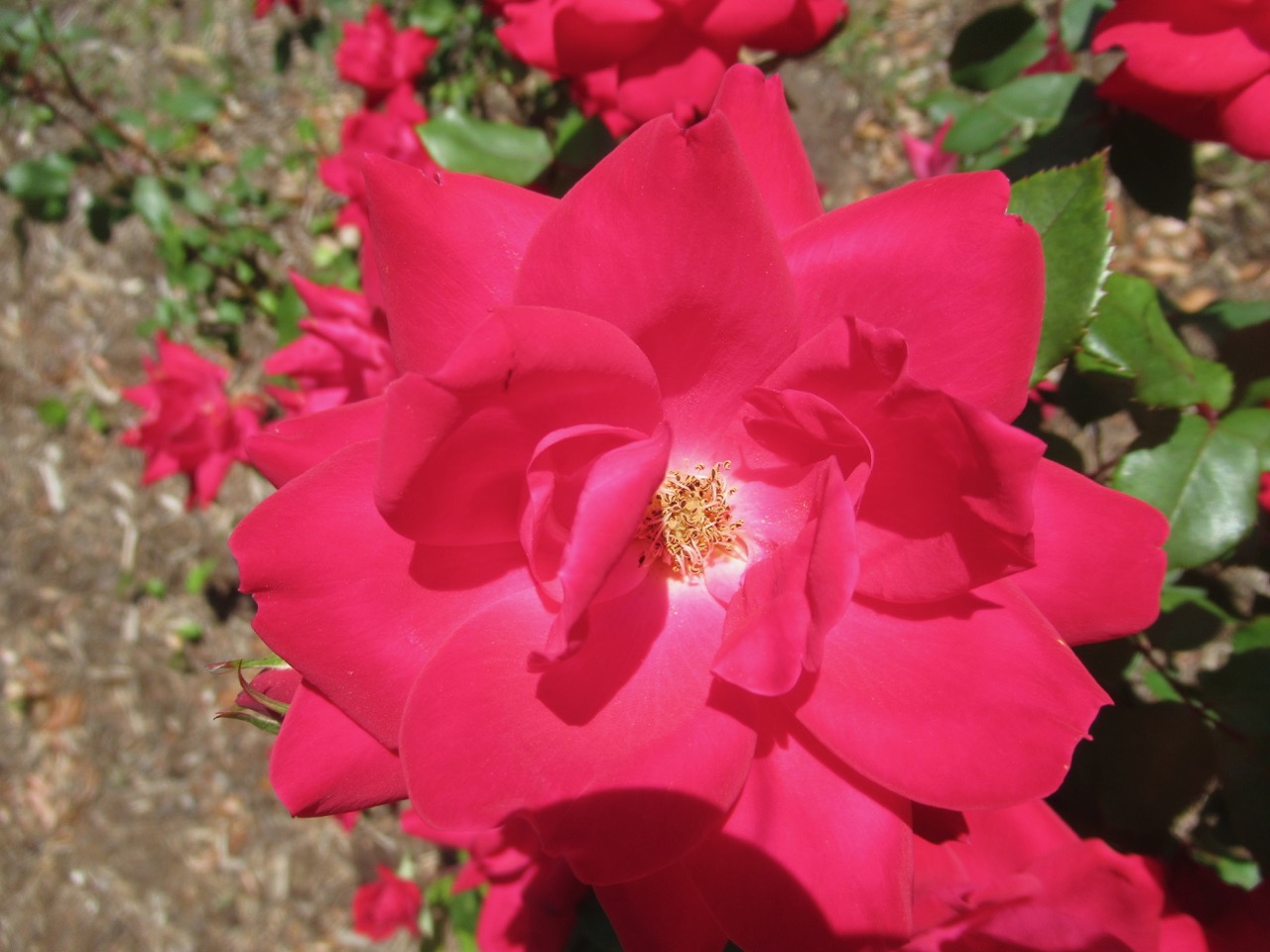 After 237 miles, plus 1 1/2 hours of kayaking, I was in Newport, NC to visit cousins Jan and Dean – and their new-since-last-visit
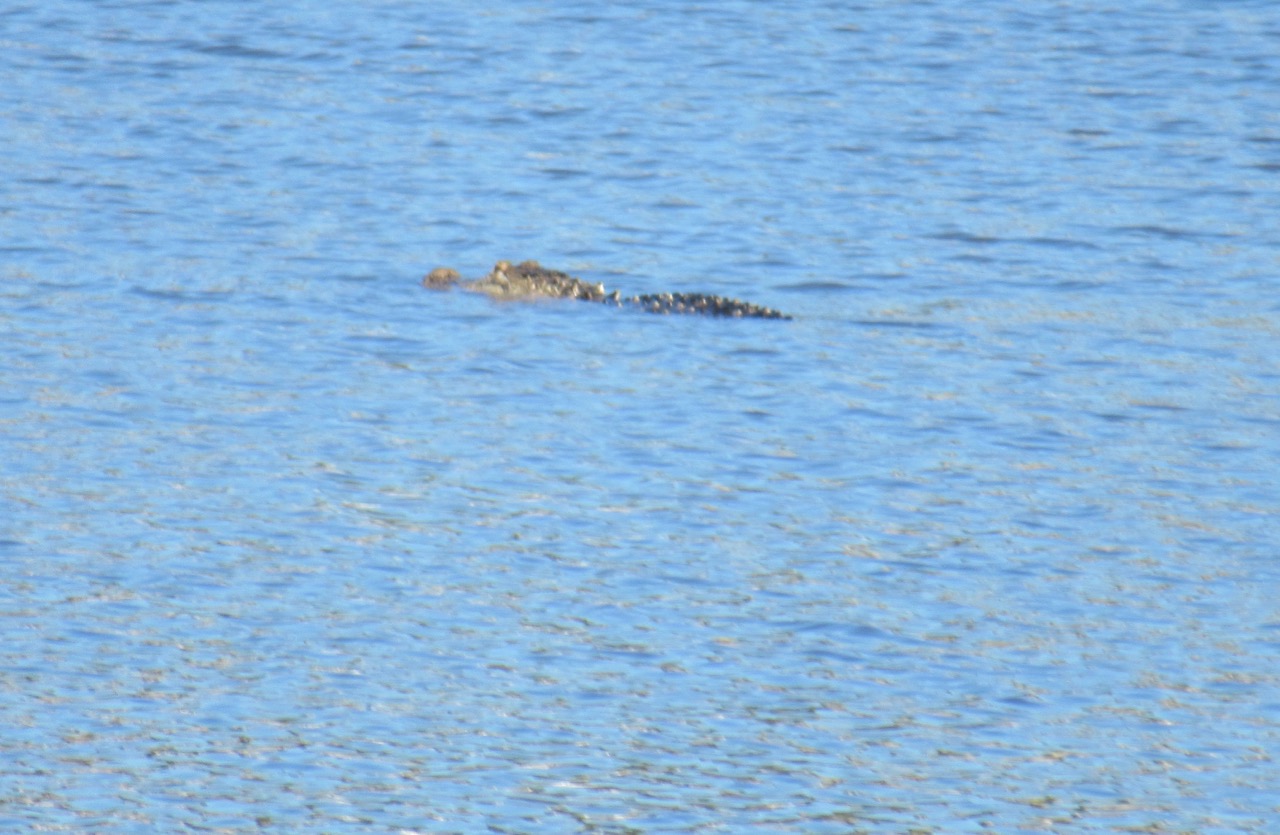 This was a parent; there was also a young alligator spotted while I was there. Also seen around the pond:


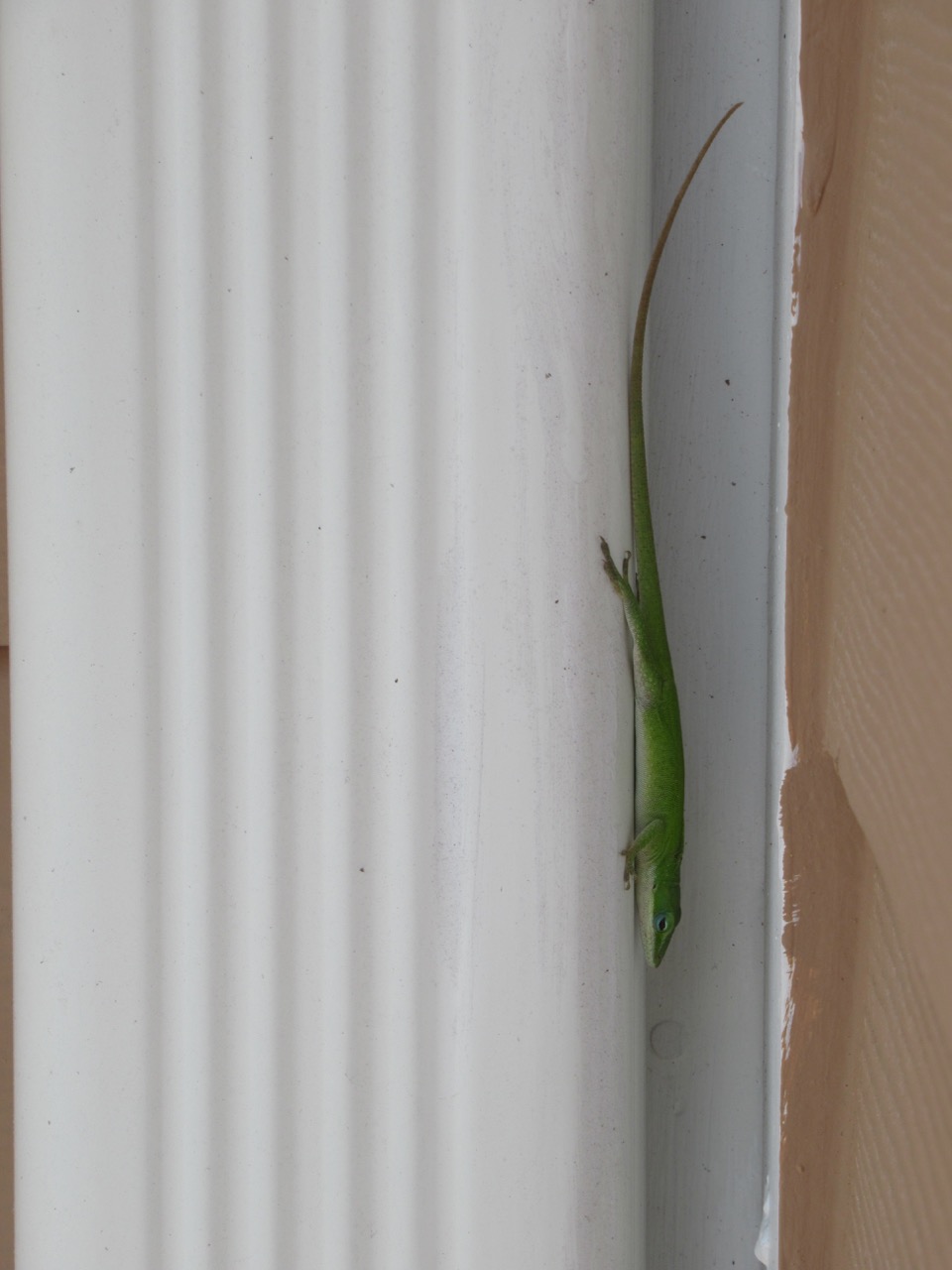
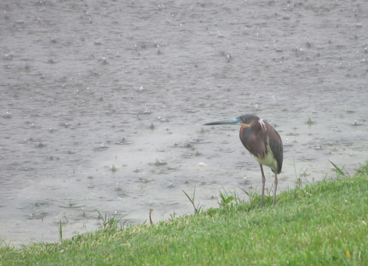
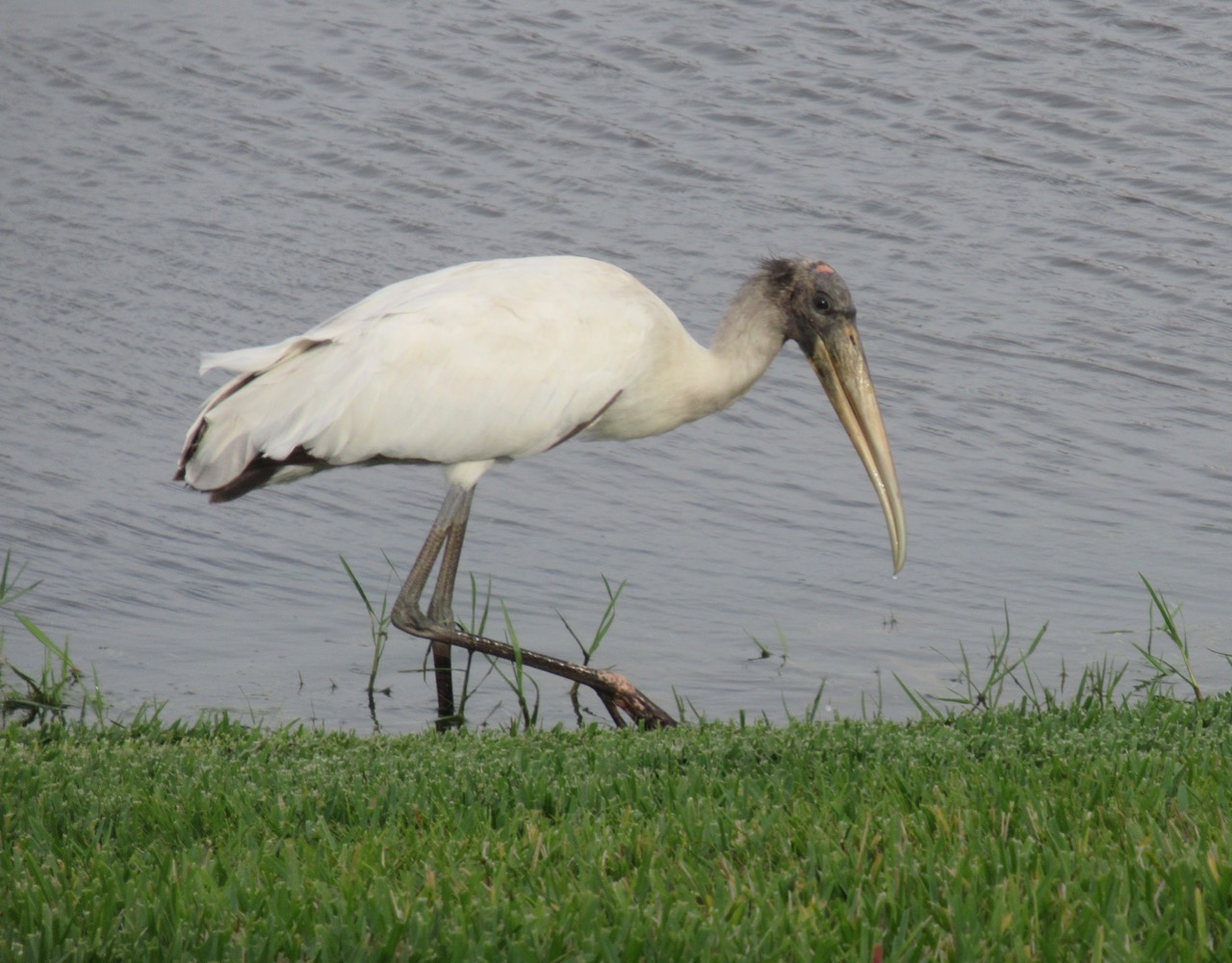 There were also roseate spoonbills and great blue herons, but none of my photos of them are worth posting. There are lots of little lizards, and they move quickly once disturbed!

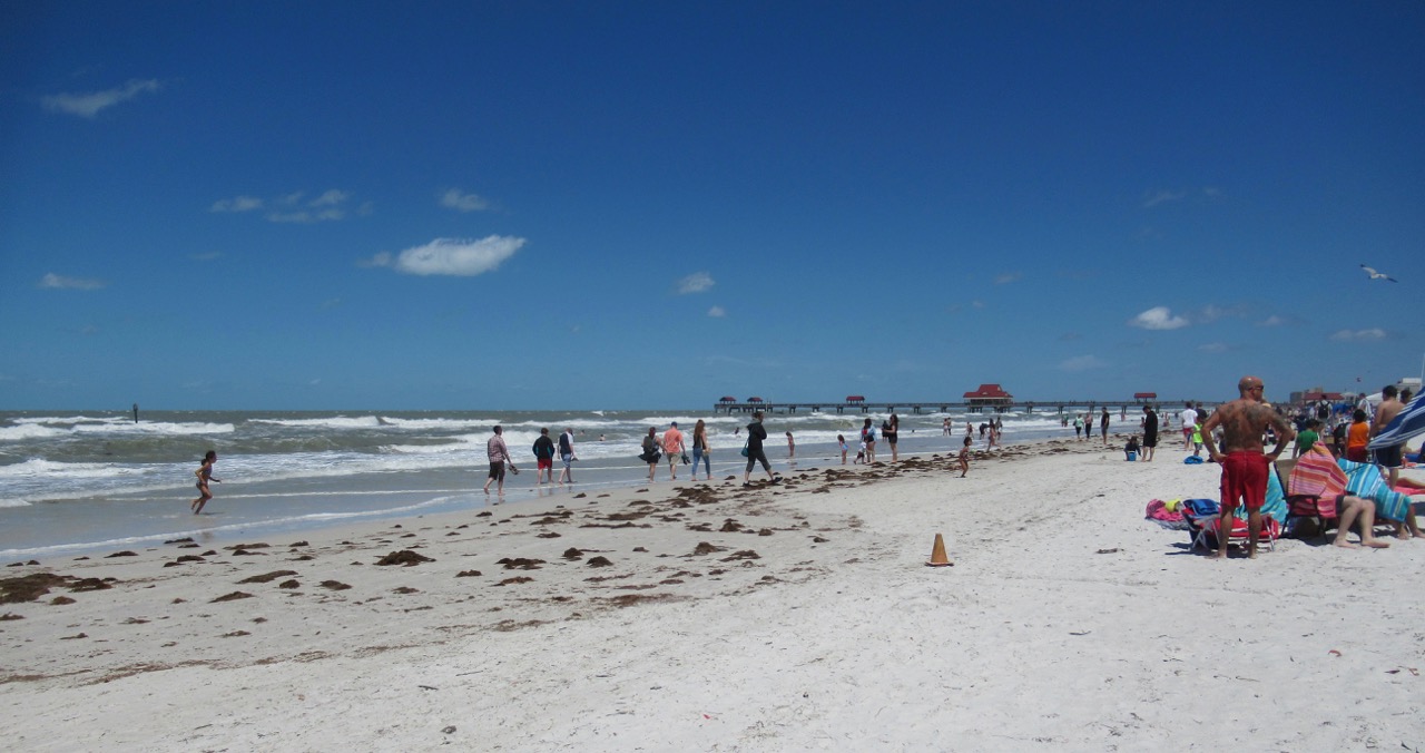
 We went to the beach at Clearwater, through heavy traffic on this Easter weekend. On arrival we saw the warning flag – further down the beach, it was closed to swimming; where we went we were just warned to be very cautious.
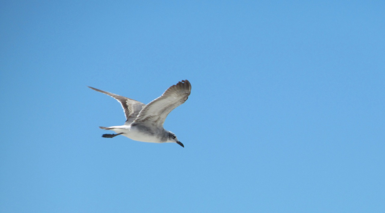
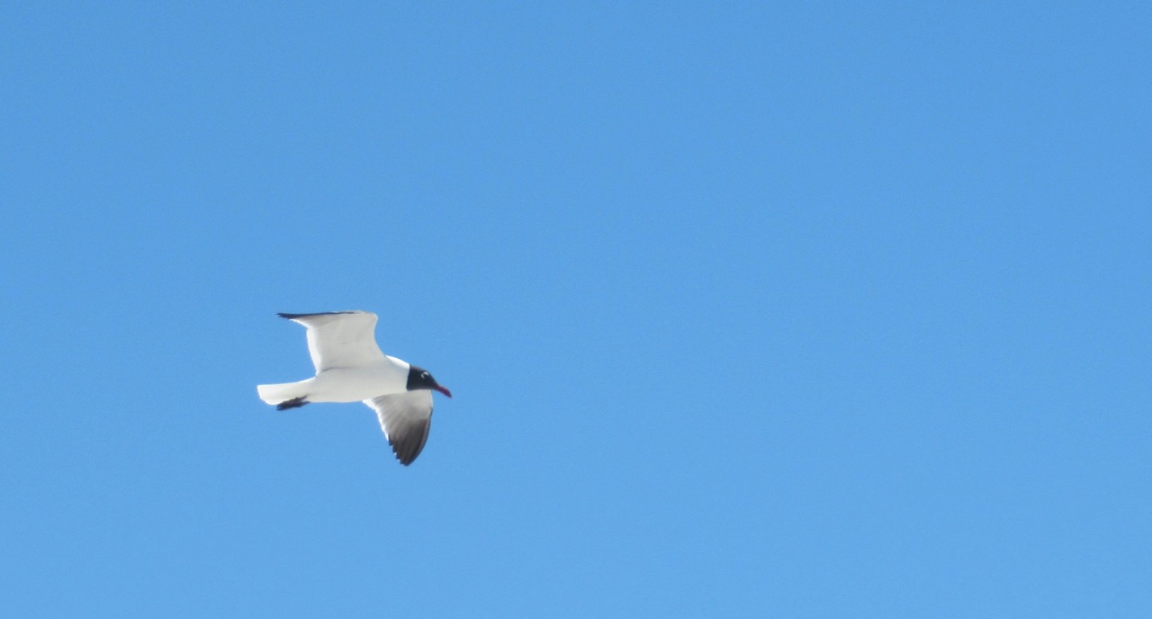 It’s rare that I get good bird-in-flight pictures – but it helps a lot when someone is feeding the gulls french fries!
 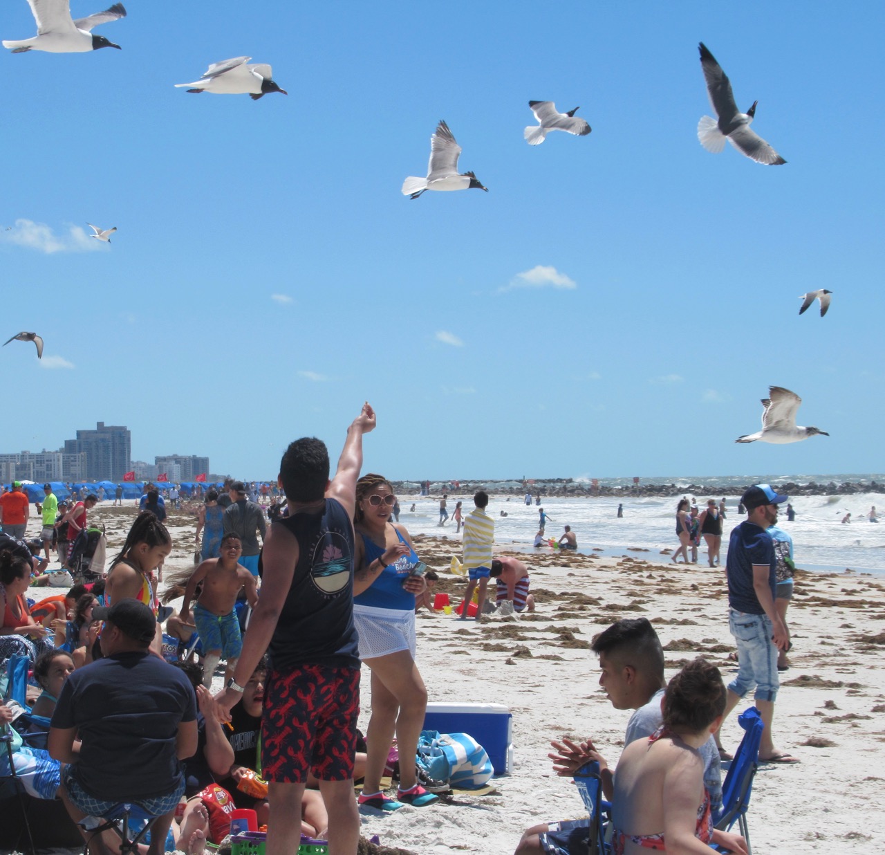 Looking away from the water:
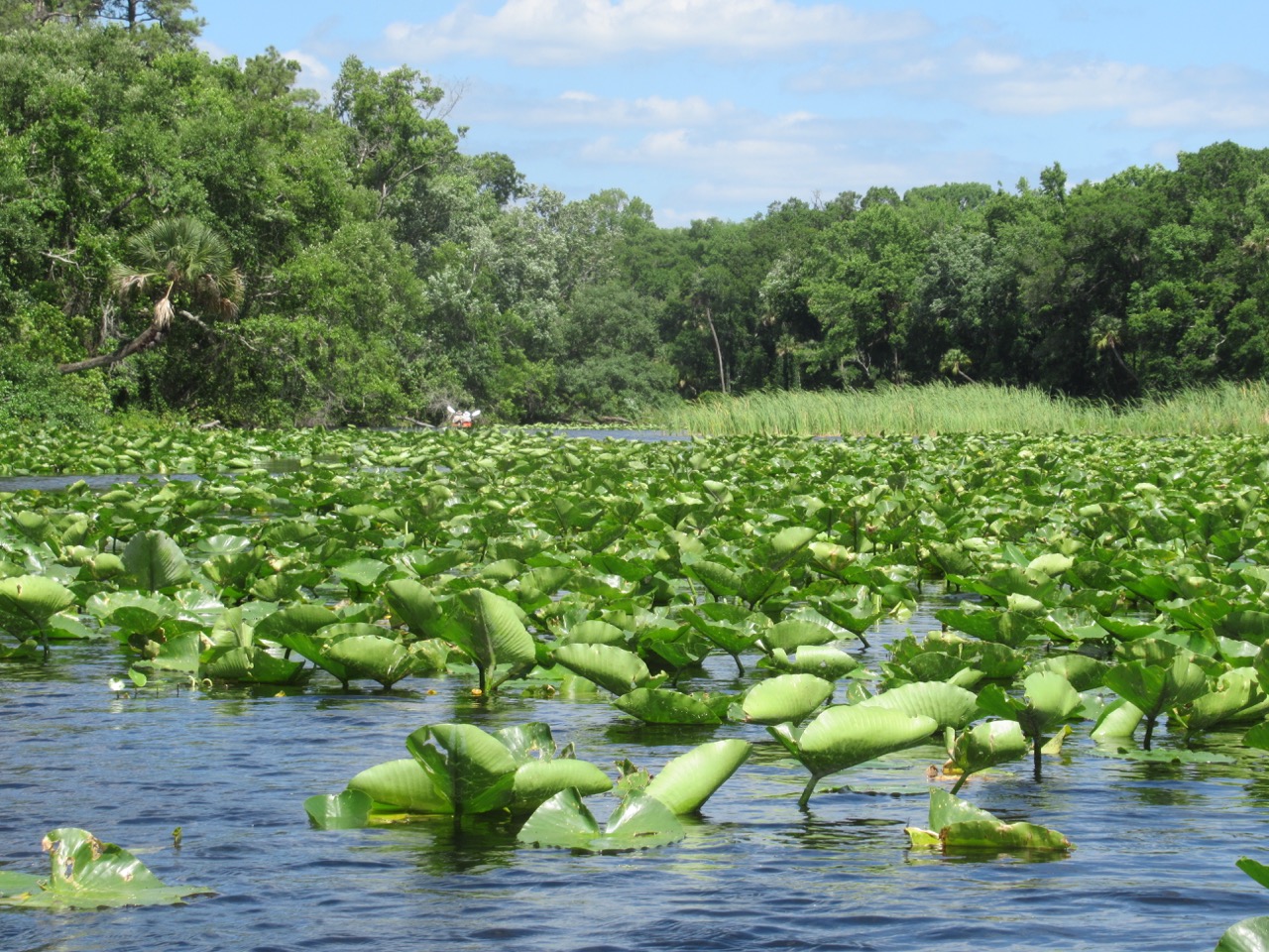
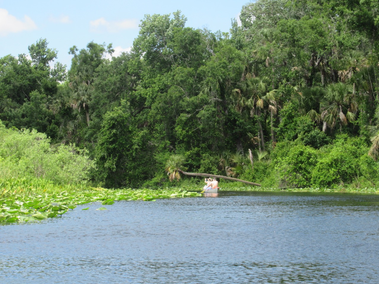
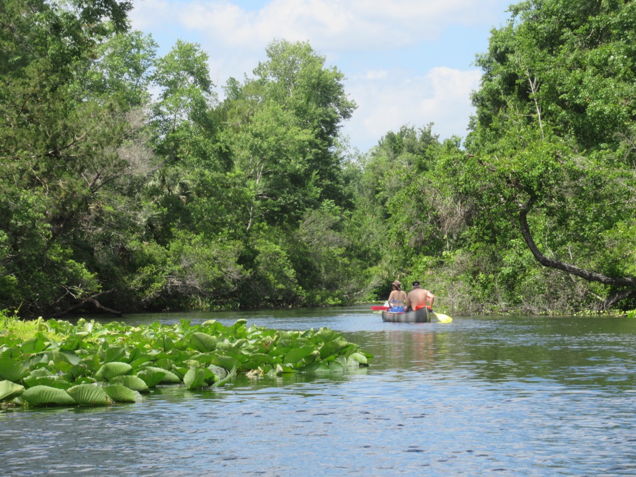 The life cycle of a water lily flower:


 and spider lilies:

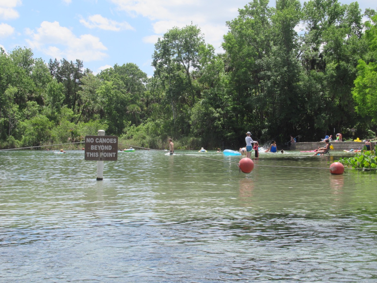 After paddling back to the bridge, I loaded up the kayak, then went down for a quick swim before making some lunch and getting back on the road. The next stop was a quick care package drop, not too far off my route, and then on to the Trinity area of New Port Richey, where my youngest granddaughter and her family live.
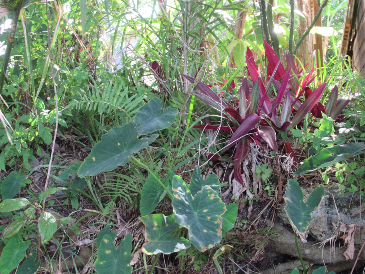
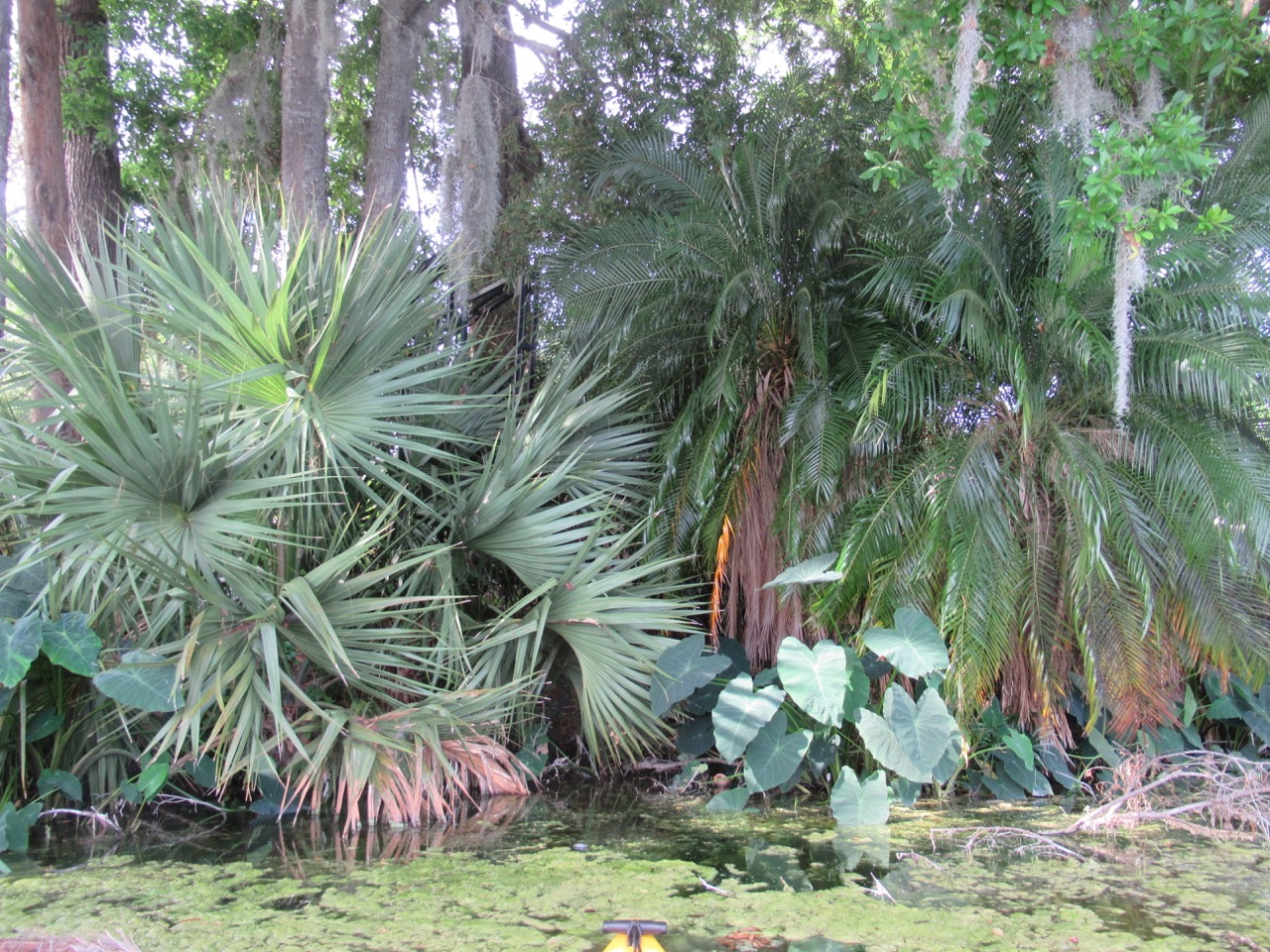
 I pulled in to Ellen’s driveway in Ormand Beach at about 9:00, and it was great to catch up with an old friend and my e-mail! Her house is surrounded by native plants; it looks like Dr Seuss was here:
 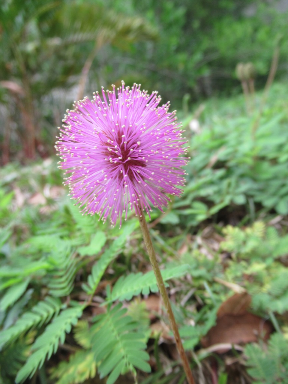 It seems as though each Powderpuff/Mimosa flower lasts only a day or two – but the supply next to where the camper was parked seemed to never end.
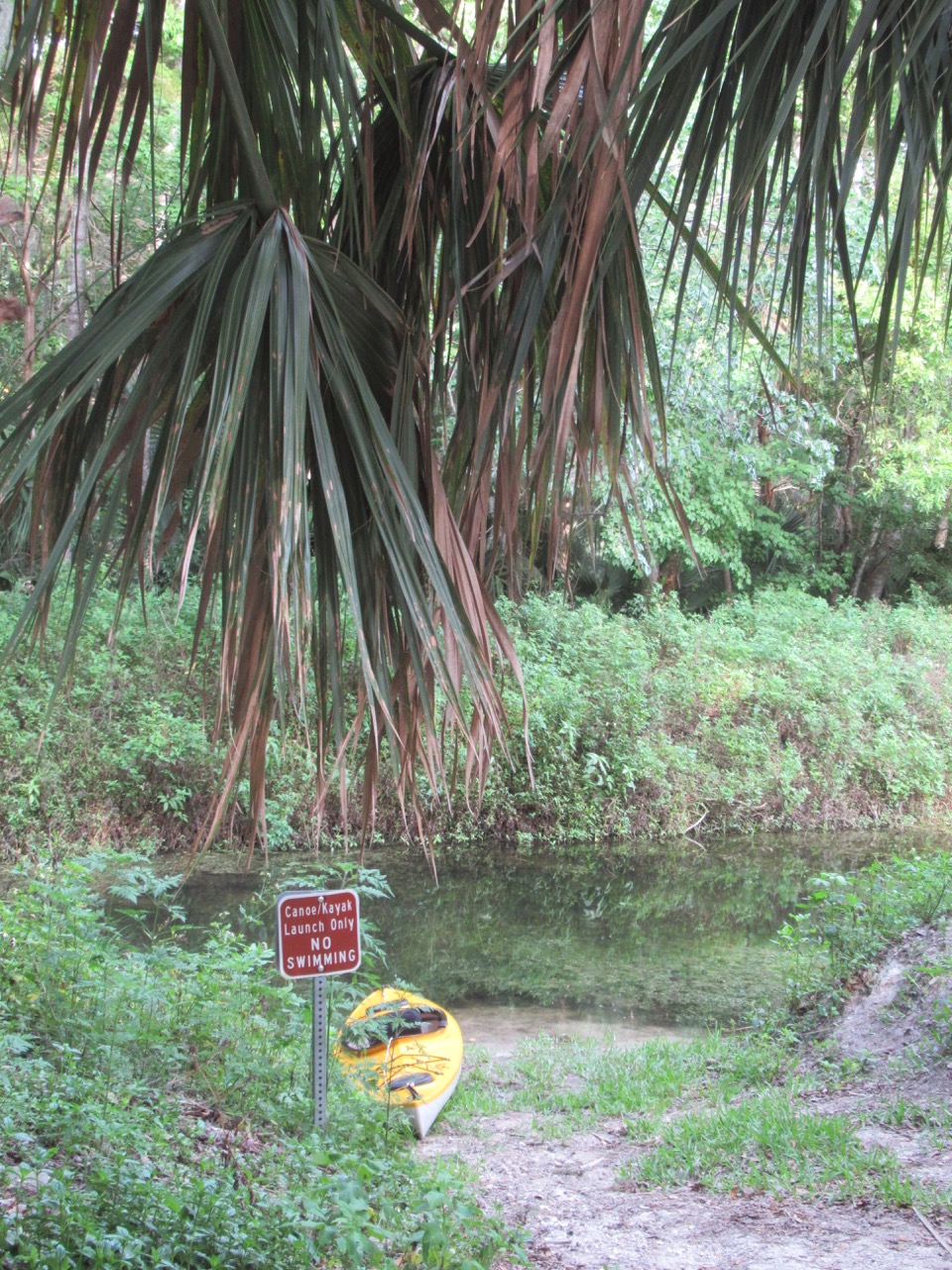 These fish were swimming just in front of the launch – I saw larger ones, but this was the best photo. They were about 6 – 8 inches long.
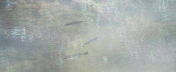


 and the non-native Muscovy duck:
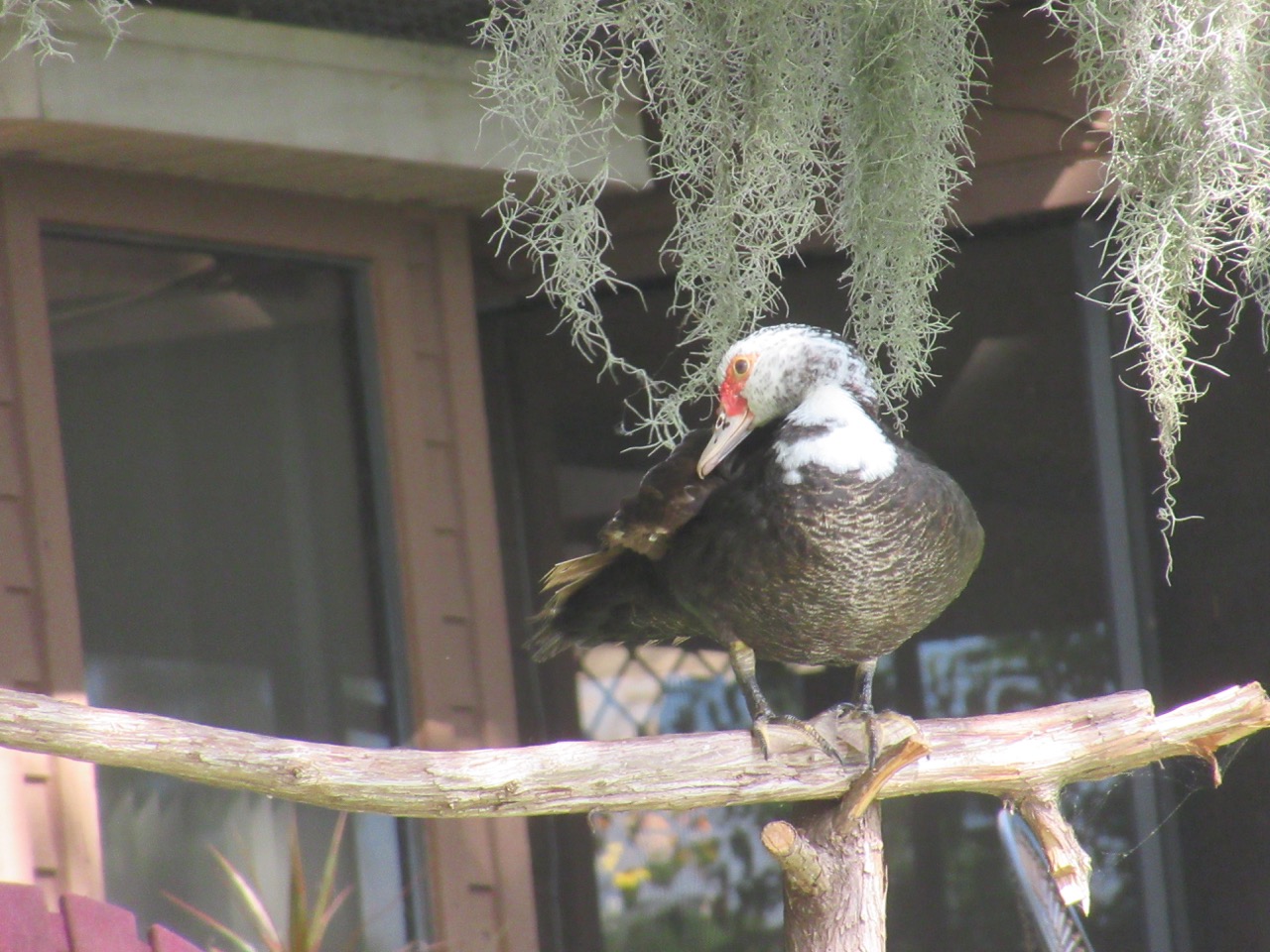 This was the first time I’ve seen bananas fruiting since I was in Hawaii over 10 years ago:


 Back to the house after a couple of hours on the water, with perfect weather, getting there with just enough time to take a quick shower before Ellen came home.


